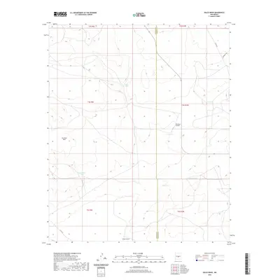
2020 Map of Dulce Draw
USGS Topo · Published 2020About this map
Cat Head Mesa dominates the western landscape of this high-desert region, where the border between Socorro and Lincoln counties cuts through a series of dramatic canyons and drainage basins. The area's water management is evident through a network of livestock tanks such as East Well Tank, Runnels Tank, and Largo Tank, which supported ranching operations in this arid terrain during the early 21st century. Natural drainages like Sacate Draw and the namesake Dulce Draw carve through the geography, leading toward the deeper relief of Pinatosa Canyon and Largo Canyon. Low-intensity infrastructure is represented by rural routes including Branding Way and Co RD a017, illustrating the sparse settlement patterns typical of this portion of New Mexico.
Find a feature on this map
19 named features on this map. Tap any name to fly to it.
Don’t see what you’re looking for? This feature index may not catch every label — zoom into the map to look around manually.
Map Details
Editions of this 2020 Dulce Draw Map
This is the sole edition of this map. No revisions or reprints were ever made.
Other maps of this area

1918 · Oscura Peak
USGS Topo · 1:125,000

1948 · Broken Back Crater
USGS Topo · 1:62,500

1950 · Little Black Peak
USGS Topo · 1:62,500

1954 · Tularosa
USGS Topo · 1:250,000

1954 · Fort Sumner
USGS Topo · 1:250,000

1954 · Socorro
USGS Topo · 1:250,000

1955 · Roswell
USGS Topo · 1:250,000

1958 · Socorro
USGS Topo · 1:250,000

1958 · Fort Sumner
USGS Topo · 1:250,000

1958 · Roswell
USGS Topo · 1:250,000