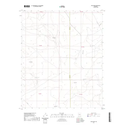
2023 Map of Dulce Draw
USGS Topo · Published 2023About this map
Cat Head Mesa anchors the high ground of this Socorro County landscape, where the high-desert terrain is defined by a network of seasonal water drainage and cattle-ranching infrastructure. The boundary between Socorro and Lincoln counties cuts vertically through the center of the sheet, dividing a region marked by extensive draws and canyons. Drainage patterns flow through Sacate Draw and the namesake Dulce Draw, eventually feeding into the larger Largo Canyon to the south.
Find a feature on this map
19 named features on this map. Tap any name to fly to it.
Don’t see what you’re looking for? This feature index may not catch every label — zoom into the map to look around manually.
Map Details
Editions of this 2023 Dulce Draw Map
This is the sole edition of this map. No revisions or reprints were ever made.
Other maps of this area

1918 · Oscura Peak
USGS Topo · 1:125,000

1948 · Broken Back Crater
USGS Topo · 1:62,500

1950 · Little Black Peak
USGS Topo · 1:62,500

1954 · Tularosa
USGS Topo · 1:250,000

1954 · Fort Sumner
USGS Topo · 1:250,000

1954 · Socorro
USGS Topo · 1:250,000

1955 · Roswell
USGS Topo · 1:250,000

1958 · Socorro
USGS Topo · 1:250,000

1958 · Fort Sumner
USGS Topo · 1:250,000

1958 · Roswell
USGS Topo · 1:250,000