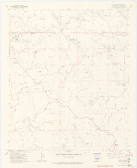
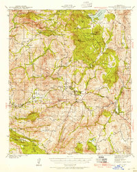
1972 Map of Dulzura
USGS Topo · Published 1974About this map
Jamul and the surrounding ranchlands of San Diego County are captured here during a period of transition in the early 1970s. The landscape is defined by its agricultural and residential evolution, featuring numerous established properties such as the Mountain Shadows Ranch, Skyline Ranch, and Bar HL Ranch. Infrastructure of the era is evidenced by Radio Facilities near Lyons Peak and a network of truck trails, including the Minnewawa Truck Trail and Wisecarver Truck Trail, which cut through the Cleveland National Forest.
Find a feature on this map
58 named features on this map. Tap any name to fly to it.
Don’t see what you’re looking for? This feature index may not catch every label — zoom into the map to look around manually.
Map Details
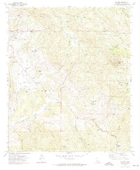
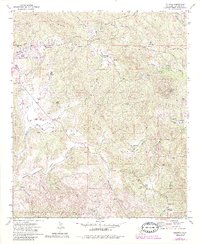
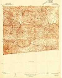
Editions of this 1972 Dulzura Map
4 editions found

Other maps of this area

1893 · El Cajon
USGS Topo · 1:62,500

1901 · Elcajon
USGS Topo · 1:62,500

1903 · Cuyamaca
USGS Topo · 1:125,000

1903 · Elcajon
USGS Topo · 1:62,500

1904 · Southern California Sheet No. 2
USGS Topo · 1:250,000

1939 · El Cajon
USGS Topo · 1:62,500
1942 · Potrero
USGS Topo · 1:48,000

1942 · El Cajon
USGS Topo · 1:62,500
1942 · Cuyamaca Peak
USGS Topo · 1:62,500
1943 · Jamul
USGS Topo · 1:62,500