
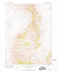
1961 Map of Dun Glen
USGS Topo · Published 1963About this map
Dun Glen (Site) serves as a focal point for this early 1960s study of the East Range, illustrating the transition from 19th-century mining booms to a mid-century landscape of ranching and specialized mineral extraction. The map documents several notable workings including the Black Hole Mine, Little Jupiter Mine, and the Rawhide Mine, which are scattered among the steep drainages of Rockhill Canyon and McCann Canyon. These industrial sites are interspersed with established agricultural outposts like the Grass Valley Ranch and Hayden Ranch, highlighting the region's dual reliance on subterranean wealth and surface grazing.
Find a feature on this map
68 named features on this map. Tap any name to fly to it.
Don’t see what you’re looking for? This feature index may not catch every label — zoom into the map to look around manually.
Map Details
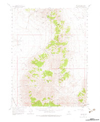
Editions of this 1961 Dun Glen Map
3 editions found
Other maps of this area

1931 · Lovelock
USGS Topo · 1:250,000

1932 · Sonoma Range
USGS Topo · 1:250,000

1935 · Lovelock
USGS Topo · 1:250,000

1939 · Sonoma Range
USGS Topo · 1:250,000

1939 · Eugene Mountains Area
USGS Topo · 1:62,500

1942 · Eugene Mountains Area
USGS Topo · 1:62,500

1954 · Unionville
USGS Topo · 1:62,500

1955 · Lovelock
USGS Topo · 1:250,000

1955 · Winnemucca
USGS Topo · 1:250,000

1956 · Imlay
USGS Topo · 1:62,500