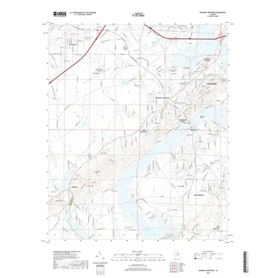
2018 Map of Dunaway Mountain
USGS Topo · Published 2018About this map
Attalla and the surrounding Etowah County landscape are defined by the winding course of the Coosa River, which widens into H Neely Henry Lake in the southern portion of this 2018 survey. The map shows a region of significant residential and industrial growth, centered around the Northeast Alabama Regional Airport and the expansion of Rainbow City and Southside. In the north, Big Wills Creek meanders toward its confluence, passing the Rainbow Memorial Gardens. To the west, the prominent elevation of Dunaway Mountain stands in contrast to the developed riverfront communities like Riverside and Old Harmony. This era of the map documents a modern suburban network of roads and neighborhoods, such as Clubview Heights, while still marking local landmarks like Pilgrims Rest Cem and several natural springs including Broughton Springs.
Find a feature on this map
213 named features on this map. Tap any name to fly to it.
Don’t see what you’re looking for? This feature index may not catch every label — zoom into the map to look around manually.
Map Details
Editions of this 2018 Dunaway Mountain Map
This is the sole edition of this map. No revisions or reprints were ever made.
Other maps of this area

1885 · Gadsden
USGS Topo · 1:125,000

1888 · Gadsden
USGS Topo · 1:125,000

1889 · Springville
USGS Topo · 1:125,000

1892 · Springville
USGS Topo · 1:125,000

1892 · Gadsden
USGS Topo · 1:125,000

1893 · Fort Payne
USGS Topo · 1:125,000

1895 · Gadsden
USGS Topo · 1:125,000

1898 · Fort Payne
USGS Topo · 1:125,000

1900 · Fort Payne
USGS Topo · 1:125,000

1900 · Anniston
USGS Topo · 1:125,000