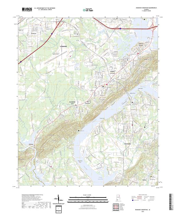
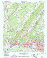
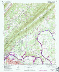
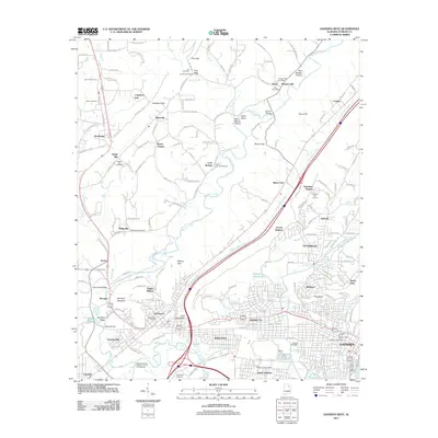
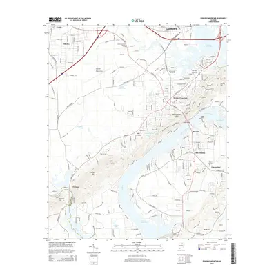
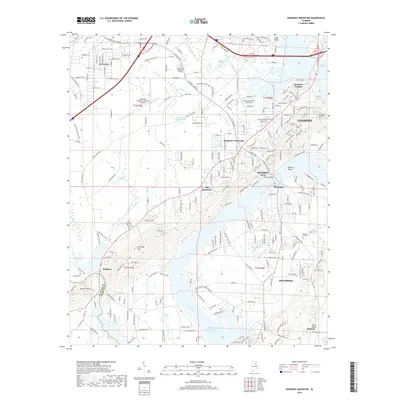
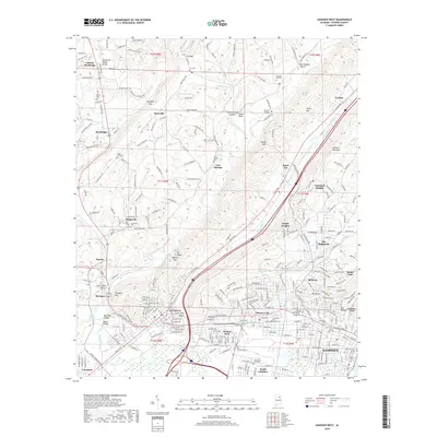
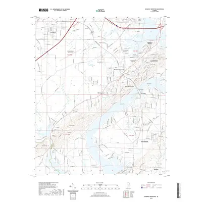
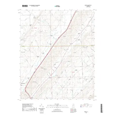
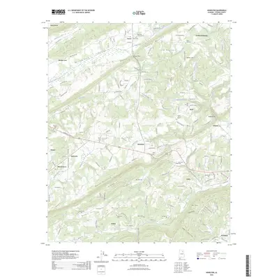
2024 Map of Dunaway Mountain
USGS Topo · Published 2024About this map
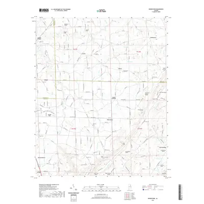
The Coosa River anchors this study of the Etowah County landscape, carving a path through a region defined by its historic river crossings and industrial infrastructure. The presence of Listers Ferry, Gilberts Ferry, and McCardney Ferry speaks to a time when river transport dictated the movement of goods and people, even as modern developments like the Northeast Alabama Regional Airport and the expansive Rainbow Industrial Blvd reflect more recent economic shifts.
Find a feature on this map
54 named features on this map. Tap any name to fly to it.
Don’t see what you’re looking for? This feature index may not catch every label — zoom into the map to look around manually.
Map Details
Editions of this 2024 Dunaway Mountain Map
This is the sole edition of this map. No revisions or reprints were ever made.
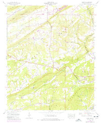
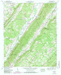
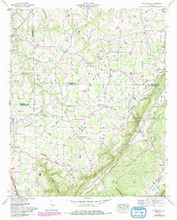
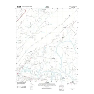
Historical Maps of Gadsden Through Time
43 maps found
1936 Roden Gap
Etowah County, AL
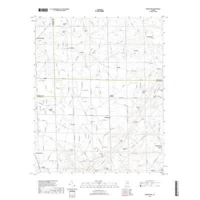
1936 Rodentown
Etowah County, AL
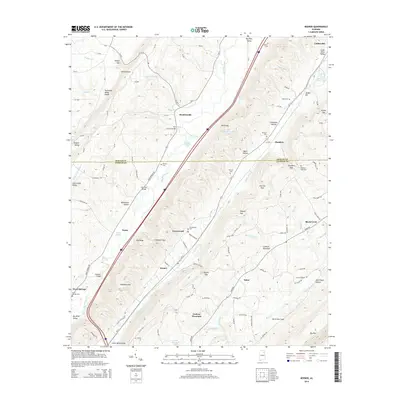
1947 Dunaway Mountain
Etowah County, AL
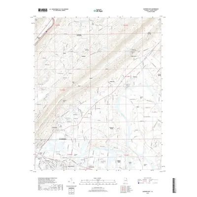
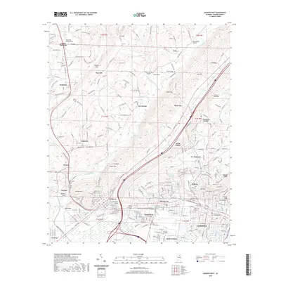
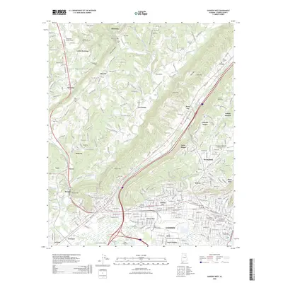
1959 Gadsden West
Etowah County, AL
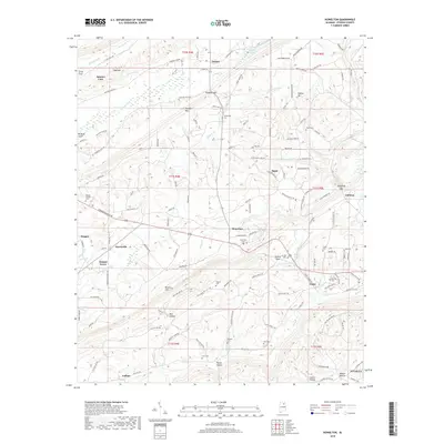
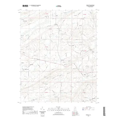
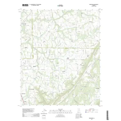
1959 Howelton
Etowah County, AL
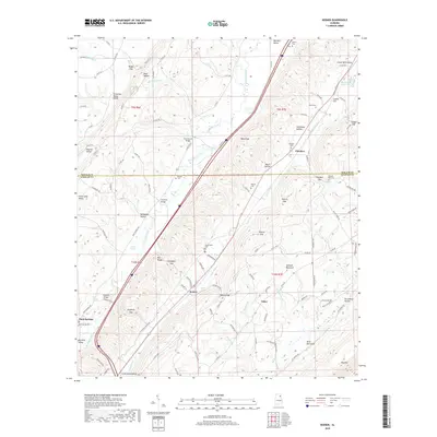
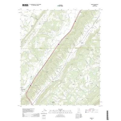
1959 Keener
Etowah County, AL
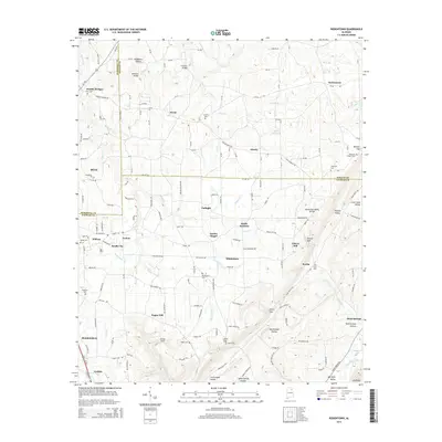
1959 Rodentown
Etowah County, AL
1967 Gadsden East
Etowah County, AL
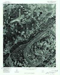
1975 Dunaway Mountain
Etowah County, AL
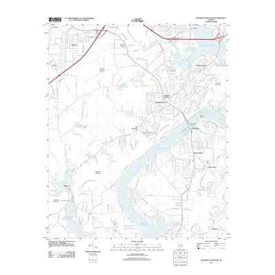
2011 Dunaway Mountain
Etowah County, AL
2011 Gadsden East
Etowah County, AL
2011 Gadsden West
Etowah County, AL
2011 Howelton
Etowah County, AL
2011 Keener
Etowah County, AL
2011 Rodentown
Etowah County, AL
2014 Dunaway Mountain
Etowah County, AL
2014 Gadsden East
Etowah County, AL
2014 Gadsden West
Etowah County, AL
2014 Howelton
Etowah County, AL
2014 Keener
Etowah County, AL
2014 Rodentown
Etowah County, AL
2018 Dunaway Mountain
Etowah County, AL
2018 Gadsden East
Etowah County, AL
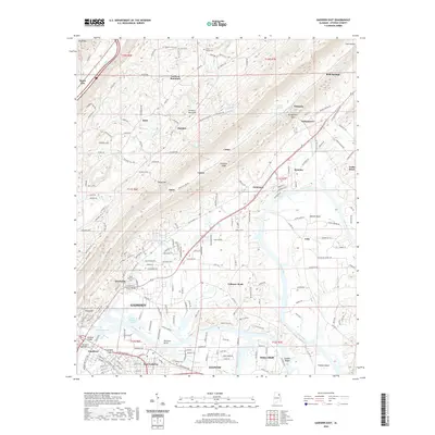
2018 Gadsden West
Etowah County, AL
2018 Howelton
Etowah County, AL
2018 Keener
Etowah County, AL
2018 Rodentown
Etowah County, AL
2020 Dunaway Mountain
Etowah County, AL
2020 Gadsden East
Etowah County, AL
2020 Gadsden West
Etowah County, AL
2020 Howelton
Etowah County, AL
2020 Keener
Etowah County, AL
2020 Rodentown
Etowah County, AL
2024 Dunaway Mountain
Etowah County, AL
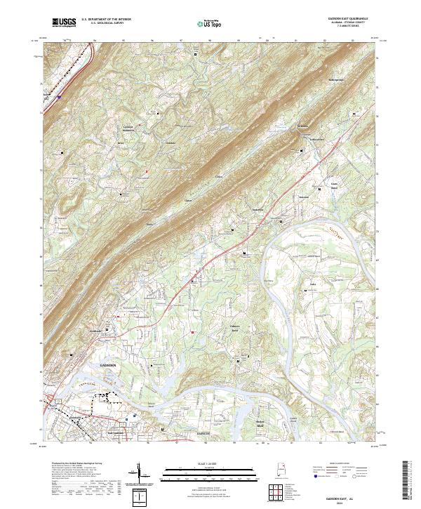
2024 Gadsden East
Etowah County, AL
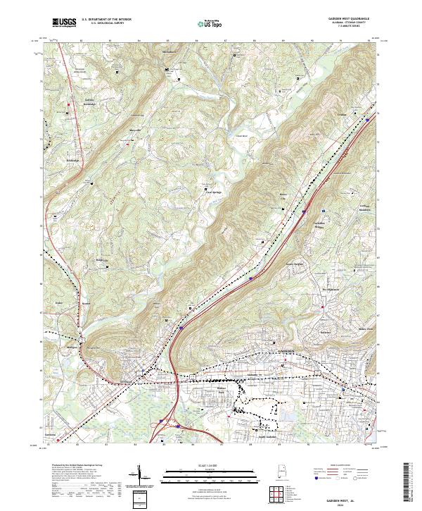
2024 Gadsden West
Etowah County, AL
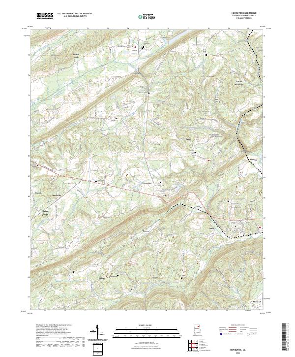
2024 Howelton
Etowah County, AL
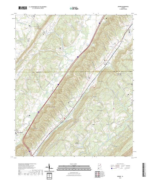
2024 Keener
Etowah County, AL
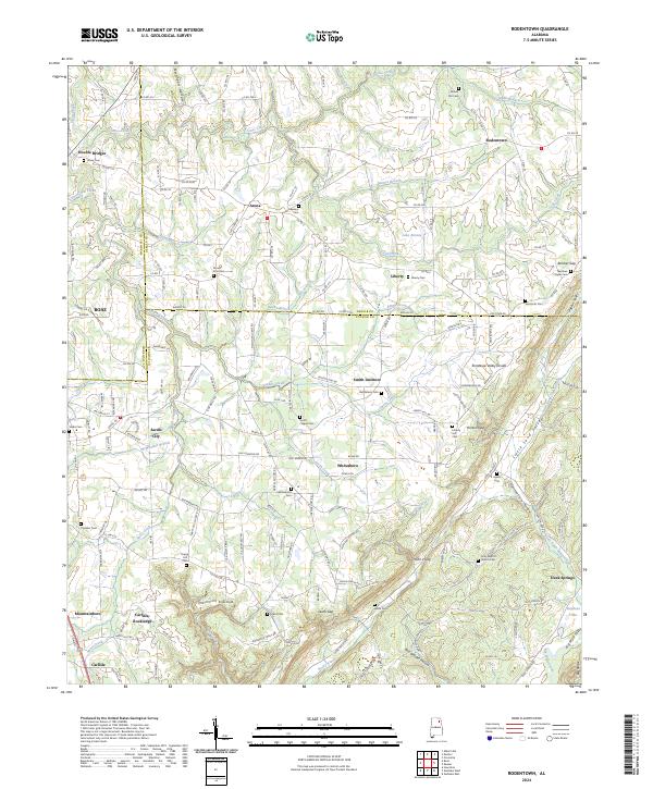
2024 Rodentown
Etowah County, AL
2026 Gadsden West
Etowah County, AL
2026 Howelton
Etowah County, AL
2026 Keener
Etowah County, AL
2026 Rodentown
Etowah County, AL