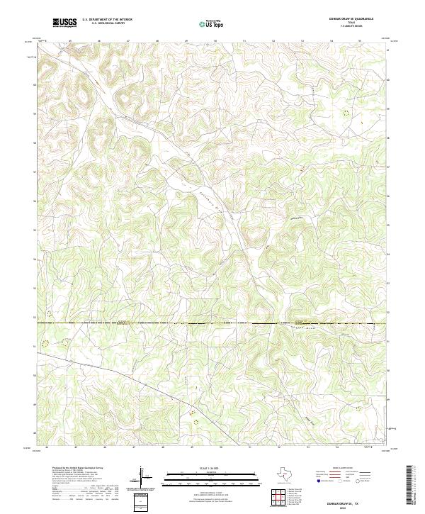
2022 Map of Dunbar Draw SE
USGS Topo · Published 2022About this map
The rugged topography of the Edwards Plateau is etched into this 2022 survey, defined by the dry watercourses that drain the upland ranch lands. The boundary between Sutton and Edwards Counties divides the terrain, where deep drainage systems like Cusenbury Draw and McKee Draw carve through the limestone landscape. This area is characterized by low-density rural development, primarily serving the ranching economy of West Texas. A network of private and county roads, including Fagan Ranch Rd and Co Rd 761, provides the only access through the winding contours of the draws. In the southeastern portion, the appearance of named thoroughfares like Broadway and 5th Ave suggests the edge of a localized settlement or planned development, contrasting with the remote character of Coyote Draw and Wheat Draw to the north and south.
Find a feature on this map
15 named features on this map. Tap any name to fly to it.
Don’t see what you’re looking for? This feature index may not catch every label — zoom into the map to look around manually.
Map Details
Editions of this 2022 Dunbar Draw SE Map
This is the sole edition of this map. No revisions or reprints were ever made.
Other maps of this area

1893 · Rock Springs
USGS Topo · 1:125,000

1954 · Sonora
USGS Topo · 1:250,000

1958 · Sonora
USGS Topo · 1:250,000

1963 · Steen Lake
USGS Topo · 1:24,000

1963 · Harrison Ranch
USGS Topo · 1:24,000

1967 · Dunbar Draw SW
USGS Topo · 1:24,000

1967 · Dunbar Draw NW
USGS Topo · 1:24,000

1967 · Dunbar Draw NE
USGS Topo · 1:24,000

1967 · Dunbar Draw SE
USGS Topo · 1:24,000

1970 · Ray Lake NW
USGS Topo · 1:24,000