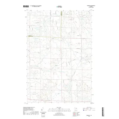
2018 Map of Dunbar NE
USGS Topo · Published 2018About this map
The N Br Pemebonwon River and S Br Pemebonwon River carve through this Northwoods landscape along the border of Marinette and Florence counties. This 2018 survey reveals a terrain defined by glacial activity, featuring numerous small bodies of water such as Belgian Lake, No Bottom Lake, and the interestingly named Johnson and Beach Lake. The area is characterized by a dense network of forest and secondary roads, including W Fischer Lake Pkwy and Cook and Bullets, which provide access to these remote waterways and wetlands. While largely undeveloped, the map shows a pattern of named rural routes like Pietchs Dr and Schobel Rd that suggest local residency and seasonal recreation near water features like Fischer Lake and Spikehorn Cr.
Find a feature on this map
57 named features on this map. Tap any name to fly to it.
Don’t see what you’re looking for? This feature index may not catch every label — zoom into the map to look around manually.
Map Details
Editions of this 2018 Dunbar NE Map
This is the sole edition of this map. No revisions or reprints were ever made.
Other maps of this area

1939 · Pembine
USGS Topo · 1:48,000

1939 · Dunbar
USGS Topo · 1:48,000

1939 · Iron Mountain
USGS Topo · 1:48,000

1941 · Dunbar
USGS Topo · 1:48,000

1941 · Iron Mountain
USGS Topo · 1:48,000

1947 · Pembine
USGS Topo · 1:48,000

1947 · Dunbar
USGS Topo · 1:48,000

1947 · Iron Mountain
USGS Topo · 1:48,000

1954 · Iron Mountain
USGS Topo · 1:250,000

1954 · Escanaba
USGS Topo · 1:250,000