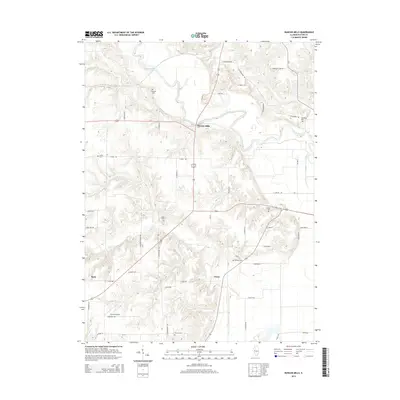
2015 Map of Duncan Mills
USGS Topo · Published 2015About this map
Spoon River meanders through this portion of Fulton County, shaping a landscape of deep creek valleys and upland plateaus. The settlement of Duncan Mills serves as a central point where the river meets the local road network, while the smaller hamlets of Enion and Beaty anchor the southern and western reaches of the quadrangle. This area is notably dense with family and community burial sites, including Freeman Cem, Waterford Cem, and Smith Cem, providing significant geographic markers for genealogical research.
Find a feature on this map
51 named features on this map. Tap any name to fly to it.
Don’t see what you’re looking for? This feature index may not catch every label — zoom into the map to look around manually.
Map Details
Editions of this 2015 Duncan Mills Map
This is the sole edition of this map. No revisions or reprints were ever made.
Other maps of this area

1918 · Vermont
USGS Topo · 1:62,500

1921 · Vermont
USGS Topo · 1:62,500

1925 · Havana
USGS Topo · 1:62,500

1926 · Beardstown
USGS Topo · 1:62,500

1930 · Chandlerville
USGS Topo · 1:62,500

1932 · Chandlerville
USGS Topo · 1:62,500

1944 · Beardstown
USGS Topo · 1:62,500

1947 · Lewistown
USGS Topo · 1:24,000

1947 · St. David
USGS Topo · 1:24,000

1947 · Havana
USGS Topo · 1:24,000