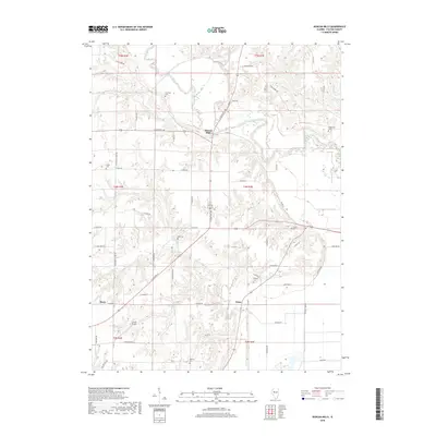
2018 Map of Duncan Mills
USGS Topo · Published 2018About this map
The Spoon River meanders through this portion of Fulton County, shaping the agricultural and residential landscape around the small settlement of Duncan Mills. This region is characterized by a high density of rural burial grounds, including the Freeman Cem, Waterford Cem, and Foutch Cem, providing a significant record of local family history and ancestral lineages. The terrain is further defined by several tributaries, notably Otter Cr and Turkey Br, which cut through the land between the small communities of Enion and Beaty. Transportation is centered on the junction of N State Rte 100 and E State Rte 136 at Duncan Mills, while the presence of Curless Airport near t3n r2e indicates the continued importance of regional aviation in this rural Illinois corridor.
Find a feature on this map
62 named features on this map. Tap any name to fly to it.
Don’t see what you’re looking for? This feature index may not catch every label — zoom into the map to look around manually.
Map Details
Editions of this 2018 Duncan Mills Map
This is the sole edition of this map. No revisions or reprints were ever made.
Other maps of this area

1918 · Vermont
USGS Topo · 1:62,500

1921 · Vermont
USGS Topo · 1:62,500

1925 · Havana
USGS Topo · 1:62,500

1926 · Beardstown
USGS Topo · 1:62,500

1930 · Chandlerville
USGS Topo · 1:62,500

1932 · Chandlerville
USGS Topo · 1:62,500

1944 · Beardstown
USGS Topo · 1:62,500

1947 · Lewistown
USGS Topo · 1:24,000

1947 · St. David
USGS Topo · 1:24,000

1947 · Havana
USGS Topo · 1:24,000