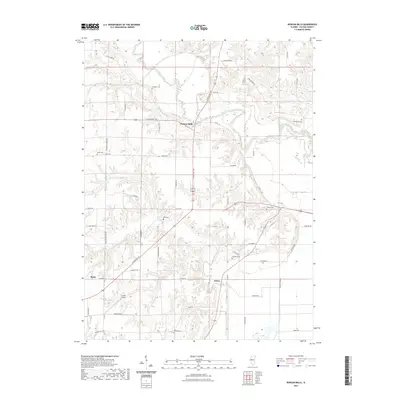
2021 Map of Duncan Mills
USGS Topo · Published 2021About this map
Duncan Mills serves as the focal point of this Fulton County landscape, where the Spoon River winds through a series of bluffs and creek valleys. The area is characterized by a high density of small family and community burial grounds, including Freeman Cem, Waterford Cem, and Foutch Cem, reflecting the deep-rooted settlement history of the region. Transportation follows both the natural contours of the land and established routes like N State Rte 100 and E State Rte 136, which intersect near the river. To the south, the small communities of Enion and Beaty are situated amidst the drainage basins of Otter Cr and Turkey Cr. The presence of the Curless Airport near the southern edge indicates modern land use alongside traditional rural patterns. The map detail highlights the transition from river bottomlands to upland agriculture, connected by a network of local roads such as N Branson School Rd and E Waterford Rd.
Find a feature on this map
60 named features on this map. Tap any name to fly to it.
Don’t see what you’re looking for? This feature index may not catch every label — zoom into the map to look around manually.
Map Details
Editions of this 2021 Duncan Mills Map
This is the sole edition of this map. No revisions or reprints were ever made.
Other maps of this area

1918 · Vermont
USGS Topo · 1:62,500

1921 · Vermont
USGS Topo · 1:62,500

1925 · Havana
USGS Topo · 1:62,500

1926 · Beardstown
USGS Topo · 1:62,500

1930 · Chandlerville
USGS Topo · 1:62,500

1932 · Chandlerville
USGS Topo · 1:62,500

1944 · Beardstown
USGS Topo · 1:62,500

1947 · Lewistown
USGS Topo · 1:24,000

1947 · St. David
USGS Topo · 1:24,000

1947 · Havana
USGS Topo · 1:24,000