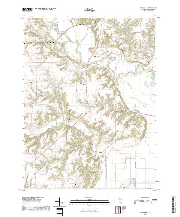
2024 Map of Duncan Mills
USGS Topo · Published 2024About this map
The Spoon River cuts a prominent path across this region of Fulton County, Illinois, where the rural landscape is defined by its winding waterways and scattered settlements. Duncan Mills and Enion serve as focal points for the local road network, while the small community of Beaty sits further west. This survey details a terrain shaped by various branches of Otter Creek, including the North Branch Otter Creek, and the smaller Turkey Branch. The map is particularly useful for genealogists, as it documents numerous family and community burial grounds across the countryside, such as Freeman Cem, Waterford Cem, Foutch Cem, and Hickory Cem. To the east, the boundary of the Emiquon National Wildlife Refuge marks a significant conservation area where the river valley widens, and infrastructure like Curless Airport highlights the localized aviation history of this agricultural heartland.
Find a feature on this map
60 named features on this map. Tap any name to fly to it.
Don’t see what you’re looking for? This feature index may not catch every label — zoom into the map to look around manually.
Map Details
Editions of this 2024 Duncan Mills Map
This is the sole edition of this map. No revisions or reprints were ever made.
Other maps of this area

1918 · Vermont
USGS Topo · 1:62,500

1921 · Vermont
USGS Topo · 1:62,500

1925 · Havana
USGS Topo · 1:62,500

1926 · Beardstown
USGS Topo · 1:62,500

1930 · Chandlerville
USGS Topo · 1:62,500

1932 · Chandlerville
USGS Topo · 1:62,500

1944 · Beardstown
USGS Topo · 1:62,500

1947 · Lewistown
USGS Topo · 1:24,000

1947 · St. David
USGS Topo · 1:24,000

1947 · Havana
USGS Topo · 1:24,000