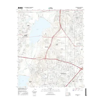
2016 Map of Duncanville
USGS Topo · Published 2016About this map
Mountain Cr Lake and the nearby Dallas Naval Air Station anchor the northwestern corner of this study, reflecting the significant aviation and water infrastructure that shaped Southwest Dallas. The terrain is defined by the winding paths of Fivemile Cr, Tenmile Cr, and Cottonwood Cr, which cut through established residential neighborhoods and industrial corridors. Several older burial grounds, including Fugitt Cem, Cockrell Cem, and Trees Cem, provide essential anchor points for genealogical research amidst the 21st-century suburban growth of Duncanville and DeSoto.
Find a feature on this map
96 named features on this map. Tap any name to fly to it.
Don’t see what you’re looking for? This feature index may not catch every label — zoom into the map to look around manually.
Map Details
Editions of this 2016 Duncanville Map
This is the sole edition of this map. No revisions or reprints were ever made.
Other maps of this area

1891 · Dallas
USGS Topo · 1:125,000

1893 · Dallas
USGS Topo · 1:125,000

1894 · Fort Worth
USGS Topo · 1:125,000

1931 · Carrollton
USGS Topo · 1:62,500

1931 · Grapevine
USGS Topo · 1:62,500

1954 · Dallas
USGS Topo · 1:250,000

1958 · Dallas
USGS Topo · 1:250,000

1958 · Oak Cliff
USGS Topo · 1:24,000

1958 · Dallas
USGS Topo · 1:24,000

1959 · Arlington
USGS Topo · 1:24,000