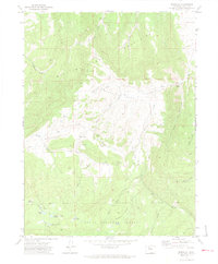
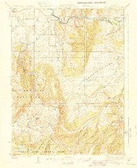
1971 Map of Dunckley
USGS Topo · Published 1974About this map
The Williams Fork Mountains dominate this 1971 landscape, rising above the high-elevation basin of Williams Park. This area of northwestern Colorado reflects a transitional period of resource management within the Routt National Forest, where traditional ranching and water infrastructure meet early energy exploration. The presence of numerous Drill Holes, Oil Wells, and a Gas Well north of Dunckley indicates the intensifying search for fossil fuels in the Yampa Valley region during the early 1970s.
Find a feature on this map
41 named features on this map. Tap any name to fly to it.
Don’t see what you’re looking for? This feature index may not catch every label — zoom into the map to look around manually.
Map Details
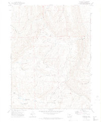
Editions of this 1971 Dunckley Map
3 editions found

Other maps of this area

1916 · Daton Peak
USGS Topo · 1:62,500
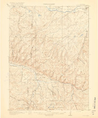
1920 · Daton Peak
USGS Topo · 1:62,500
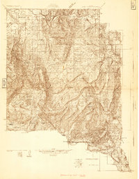
1924 · Mt. Harris
USGS Topo · 1:48,000
1926 · Mount Harris
USGS Topo · 1:62,500

1954 · Craig
USGS Topo · 1:250,000

1957 · Craig
USGS Topo · 1:250,000

1958 · Craig
USGS Topo · 1:250,000

1960 · Craig
USGS Topo · 1:250,000

1962 · Craig
USGS Topo · 1:250,000

1964 · Craig
USGS Topo · 1:250,000