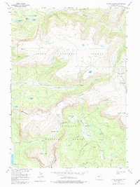
1956 Map of Dundee Meadows
USGS Topo · Published 1975About this map
The Continental Divide winds through this high-elevation landscape in the mid-1950s, marking the boundary between the Teton National Forest and Shoshone National Forest. This remote section of Fremont County is defined by steep alpine drainage systems, where Cub Creek and Trail Creek flow through deep-set valleys. The map illustrates a wilderness largely untouched by development, accessible only via a network of Pack Trails that connect distant high-altitude lakes.
Find a feature on this map
34 named features on this map. Tap any name to fly to it.
Don’t see what you’re looking for? This feature index may not catch every label — zoom into the map to look around manually.
Map Details
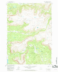
Editions of this 1956 Dundee Meadows Map
3 editions found
Other maps of this area

1902 · Mt Leidy
USGS Topo · 1:125,000

1905 · Younts Peak
USGS Topo · 1:125,000

1907 · Younts Peak
USGS Topo · 1:125,000

1955 · Driggs
USGS Topo · 1:250,000

1955 · Thermopolis
USGS Topo · 1:250,000

1956 · Esmond Park
USGS Topo · 1:24,000

1956 · Shoshone Pass
USGS Topo · 1:24,000

1956 · Kisinger Lakes
USGS Topo · 1:24,000
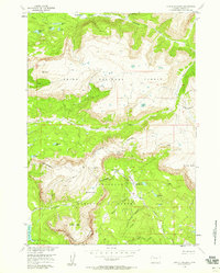
1956 · Dundee Meadows
USGS Topo · 1:24,000

1958 · Driggs
USGS Topo · 1:250,000