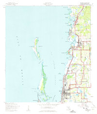
1943 Map of Dunedin
USGS Topo · Published 1961About this map
The coastal communities of Dunedin and Palm Harbor define this mid-century Florida landscape, positioned along the Atlantic Coast Line railroad. This survey captures the region before the era of intensive high-rise development, showing a shoreline deeply integrated with its natural bayous and keys. To the west, the barrier landforms of Caladesi Island and the northern tip of Clearwater Beach Island protect St Joseph Sound.
Find a feature on this map
54 named features on this map. Tap any name to fly to it.
Don’t see what you’re looking for? This feature index may not catch every label — zoom into the map to look around manually.
Map Details
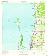
Editions of this 1943 Dunedin Map
3 editions found
Other maps of this area

1921 · Sand Key
USGS Topo · 1:62,500

1921 · St Petersburg
USGS Topo · 1:62,500

1943 · Safety Harbor
USGS Topo · 1:31,680

1943 · Dunedin
USGS Topo · 1:31,680

1943 · Tarpon Springs
USGS Topo · 1:31,680

1943 · Clearwater
USGS Topo · 1:24,000

1943 · Elfers
USGS Topo · 1:24,000

1943 · Oldsmar
USGS Topo · 1:24,000

1944 · Elfers
USGS Topo · 1:31,680

1944 · Oldsmar
USGS Topo · 1:31,680