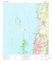
1974 Map of Dunedin
USGS Topo · Published 1977About this map
The coastal waters of St Joseph Sound and the Gulf of Mexico dominate this 1974 survey, showcasing the barrier island geography of Honeymoon Island and Caladesi Island. Connected to the mainland by the Dunedin Beach Causeway, these islands protect the shallow harbors of Clearwater Harbor and the Dunedin Channel. On the mainland, the residential growth of Dunedin, Ozona, and Palm Harbor is well-established, with infrastructure including the Dunedin Marina, a large Hospital, and several educational facilities like the Palm Harbor Jr High Sch.
Find a feature on this map
82 named features on this map. Tap any name to fly to it.
Don’t see what you’re looking for? This feature index may not catch every label — zoom into the map to look around manually.
Map Details
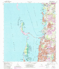
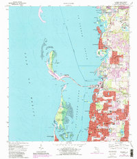
Editions of this 1974 Dunedin Map
3 editions found
Other maps of this area

1921 · Sand Key
USGS Topo · 1:62,500

1921 · St Petersburg
USGS Topo · 1:62,500

1943 · Safety Harbor
USGS Topo · 1:31,680

1943 · Dunedin
USGS Topo · 1:31,680

1943 · Tarpon Springs
USGS Topo · 1:31,680

1943 · Clearwater
USGS Topo · 1:24,000

1943 · Elfers
USGS Topo · 1:24,000

1943 · Oldsmar
USGS Topo · 1:24,000

1944 · Elfers
USGS Topo · 1:31,680

1944 · Oldsmar
USGS Topo · 1:31,680