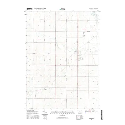
2015 Map of Dunkerton
USGS Topo · Published 2015About this map
Dunkerton serves as the central hub of this agricultural landscape in northeastern Black Hawk County, situated where the Dunkerton Bridge crosses Crane Creek. The surrounding prairie is defined by a rigorous section-line road grid, including Co Rd 54 and E Airline Hwy, which connect small outlying settlements like Dewar and numerous family cemeteries. These burial grounds, such as Lester Township Cem, Fairview-Lester Cem, and Saint Francis Cem, provide essential anchor points for genealogists researching the local township history. The drainage patterns of the Wapsipinicon River and its tributaries, like Elk Run and Poyner Cr, carve through the rolling farmland, dictating the placement of secondary roads and field boundaries in this well-established farming community.
Find a feature on this map
40 named features on this map. Tap any name to fly to it.
Don’t see what you’re looking for? This feature index may not catch every label — zoom into the map to look around manually.
Map Details
Editions of this 2015 Dunkerton Map
This is the sole edition of this map. No revisions or reprints were ever made.
Other maps of this area

1954 · Waterloo
USGS Topo · 1:250,000

1955 · Waterloo
USGS Topo · 1:250,000

1963 · Denver
USGS Topo · 1:24,000

1963 · Waterloo South
USGS Topo · 1:24,000

1963 · Waterloo North
USGS Topo · 1:24,000

1971 · Readlyn
USGS Topo · 1:24,000

1971 · Gilbertville
USGS Topo · 1:24,000

1971 · Dunkerton
USGS Topo · 1:24,000

1971 · Fairbank
USGS Topo · 1:24,000

1971 · Littleton
USGS Topo · 1:24,000