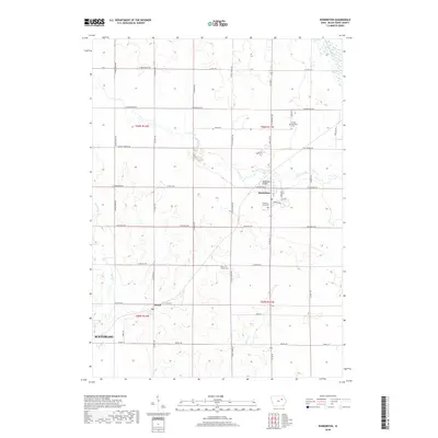
2018 Map of Dunkerton
USGS Topo · Published 2018About this map
Dunkerton serves as a central hub in this northeast Iowa landscape, where the Crane Creek winds through the township toward its confluence with the Wapsipinicon River. The map documents a predominantly agrarian region defined by a precise grid of county roads, including Co Hwy C57 and Co Hwy V49, which connect small communities like Dewar and the settlement of Barclay. For genealogists and local historians, the sheet preserves the locations of vital community landmarks such as the Lester Township Cem, Fairview-Lester Cem, and Saint Francis Cem. These sites, along with the Dunkerton Bridge, mark the intersections of early pioneer settlement and the enduring watercourses like Elk Run and Poyner Cr that shaped the development of Black Hawk County.
Find a feature on this map
44 named features on this map. Tap any name to fly to it.
Don’t see what you’re looking for? This feature index may not catch every label — zoom into the map to look around manually.
Map Details
Editions of this 2018 Dunkerton Map
This is the sole edition of this map. No revisions or reprints were ever made.
Other maps of this area

1954 · Waterloo
USGS Topo · 1:250,000

1955 · Waterloo
USGS Topo · 1:250,000

1963 · Denver
USGS Topo · 1:24,000

1963 · Waterloo South
USGS Topo · 1:24,000

1963 · Waterloo North
USGS Topo · 1:24,000

1971 · Readlyn
USGS Topo · 1:24,000

1971 · Gilbertville
USGS Topo · 1:24,000

1971 · Dunkerton
USGS Topo · 1:24,000

1971 · Fairbank
USGS Topo · 1:24,000

1971 · Littleton
USGS Topo · 1:24,000