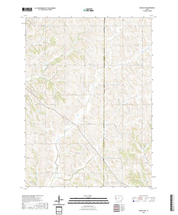
2022 Map of Dunlap NW
USGS Topo · Published 2022About this map
The rolling hills of the Monona and Crawford county border are defined by an intricate network of drainage and local transit in this 2022 survey. The landscape is carved by Willow Creek and its many tributaries, including Middle Willow Cr, Norway Cr, and Skinners Cr. These waterways dictate the placement of rural sections and the winding paths of secondary roads like O'Banion Rd.
Find a feature on this map
43 named features on this map. Tap any name to fly to it.
Don’t see what you’re looking for? This feature index may not catch every label — zoom into the map to look around manually.
Map Details
Editions of this 2022 Dunlap NW Map
This is the sole edition of this map. No revisions or reprints were ever made.
Other maps of this area

1954 · Omaha
USGS Topo · 1:250,000

1954 · Fort Dodge
USGS Topo · 1:250,000

1957 · Omaha
USGS Topo · 1:250,000

1957 · Fort Dodge
USGS Topo · 1:250,000

1958 · Omaha
USGS Topo · 1:250,000

1958 · Fort Dodge
USGS Topo · 1:250,000
1971 · Mapleton SE
USGS Topo · 1:24,000

1971 · Moorhead SE
USGS Topo · 1:24,000

1971 · Ute
USGS Topo · 1:24,000

1971 · Dunlap SW
USGS Topo · 1:24,000