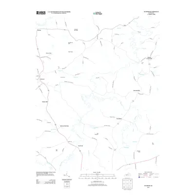
2013 Map of Dunmor
USGS Topo · Published 2013About this map
Mud River meanders through this portion of Logan and Muhlenberg Counties, anchoring a landscape of small crossroads settlements and family-named landmarks. The area around Dunmor and Diamond Springs reflects a rural Kentucky character where geography is defined by ridges like Welburn Ridge and local summits such as Huckleberry Knob. The map provides specific detail for genealogists, identifying burial sites like Dearmond Cem and Fitzhugh Cem, along with industrial remnants such as Forgys Mill on Forgys Br.
Find a feature on this map
90 named features on this map. Tap any name to fly to it.
Don’t see what you’re looking for? This feature index may not catch every label — zoom into the map to look around manually.
Map Details
Editions of this 2013 Dunmor Map
This is the sole edition of this map. No revisions or reprints were ever made.
Other maps of this area

1911 · Drakesboro
USGS Topo · 1:48,000

1911 · Dunmor
USGS Topo · 1:48,000

1913 · Drakesboro
USGS Topo · 1:62,500

1914 · Dunmor
USGS Topo · 1:62,500

1951 · Lewisburg
USGS Topo · 1:24,000

1951 · Homer
USGS Topo · 1:24,000

1952 · Sharon Grove
USGS Topo · 1:24,000

1953 · Drakesboro
USGS Topo · 1:24,000

1953 · Rosewood
USGS Topo · 1:24,000

1953 · Dunmor
USGS Topo · 1:24,000