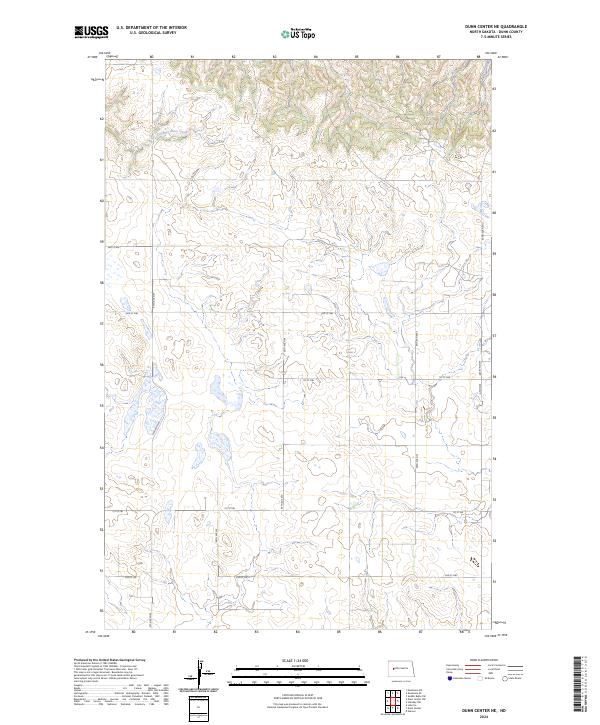
2024 Map of Dunn Center NE
USGS Topo · Published 2024About this map
Chimney Butte Creek defines the northern topography of this North Dakota landscape, carving through a region marked by the systematic grid of the Public Land Survey System. The map shows the intersection of four townships, including t146n r94w, t146n r93w, t145n r94w, and t145n r93w, illustrating how modern infrastructure follows these historic section lines. A network of local roads such as 3rd St NW and 97th Ave NW provides access to the prairie interior. The terrain is characterized by numerous small wetlands and depressions typical of the Missouri Plateau, with a survey of elevation contours that reveal the subtle rises and falls of the land between the drainages of the creek and the upland plateaus. This 2024 edition reflects the modern rural layout of Dunn County, providing a high-resolution view of the contemporary agricultural and topographic landscape.
Find a feature on this map
16 named features on this map. Tap any name to fly to it.
Don’t see what you’re looking for? This feature index may not catch every label — zoom into the map to look around manually.
Map Details
Editions of this 2024 Dunn Center NE Map
This is the sole edition of this map. No revisions or reprints were ever made.
Other maps of this area

1953 · Watford City
USGS Topo · 1:250,000

1957 · Watford City
USGS Topo · 1:250,000

1967 · Watford City
USGS Topo · 1:250,000

1970 · Dunn Center NW
USGS Topo · 1:24,000

1970 · Mandaree SW
USGS Topo · 1:24,000

1970 · Halliday NW
USGS Topo · 1:24,000

1970 · Dunn Center NE
USGS Topo · 1:24,000

1970 · Mandaree SE
USGS Topo · 1:24,000
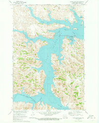
1970 · Saddle Butte SW
USGS Topo · 1:24,000

1973 · Dunn Center
USGS Topo · 1:24,000