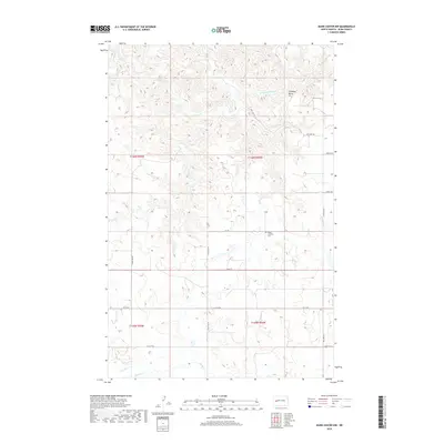
2018 Map of Dunn Center NW
USGS Topo · Published 2018About this map
Peace Lutheran Cem serves as a central landmark for this rural landscape in Dunn County, where the plains are etched by a network of drainage systems. The terrain is defined by the high point of Chimney Butte in the northeast, giving way to the winding courses of Corral Cr, Jim Cr, and Chimney Butte Cr. This 2018 survey reveals a systematic grid of section-line roads, including Main St and 101st Ave NW, which partition the prairie into a highly organized agricultural and grazing pattern. In the southern reaches, the land slopes toward the beds of Spring Cr and Gumbo Cr, illustrating the vital water resources that have historically dictated ranching and farming boundaries across these North Dakota townships.
Find a feature on this map
23 named features on this map. Tap any name to fly to it.
Don’t see what you’re looking for? This feature index may not catch every label — zoom into the map to look around manually.
Map Details
Editions of this 2018 Dunn Center NW Map
This is the sole edition of this map. No revisions or reprints were ever made.
Other maps of this area

1953 · Watford City
USGS Topo · 1:250,000

1957 · Watford City
USGS Topo · 1:250,000

1967 · Watford City
USGS Topo · 1:250,000

1970 · Lost Bridge
USGS Topo · 1:24,000

1970 · Dunn Center NW
USGS Topo · 1:24,000

1970 · Mandaree SW
USGS Topo · 1:24,000

1970 · Dunn Center NE
USGS Topo · 1:24,000

1970 · Mandaree SE
USGS Topo · 1:24,000

1973 · Dunn Center
USGS Topo · 1:24,000

1973 · Lake Ilo
USGS Topo · 1:24,000