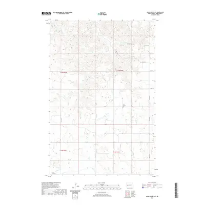
2020 Map of Dunn Center NW
USGS Topo · Published 2020About this map
The northern reaches of Killdeer anchor this high-plains landscape, where the town's northern edge meets the rolling drainage basins of several prairie streams. The terrain is defined by its watercourses, most notably Spring Cr and Gumbo Cr in the south, while Chimney Butte Cr flows near the prominent landform of Chimney Butte in the northeast. The rural sections are organized by a grid of section-line roads, including 98th Ave NW and Main St, which facilitate access across the open ranchland. A focal point for local genealogy is the Peace Lutheran Cem, situated in the central-east portion of the quadrangle. Other smaller drainages such as Corral Cr, Jim Cr, and Frank Cr further carve the topography, illustrating the complex hydrology that supports this part of Dunn County.
Find a feature on this map
22 named features on this map. Tap any name to fly to it.
Don’t see what you’re looking for? This feature index may not catch every label — zoom into the map to look around manually.
Map Details
Editions of this 2020 Dunn Center NW Map
This is the sole edition of this map. No revisions or reprints were ever made.
Other maps of this area

1953 · Watford City
USGS Topo · 1:250,000

1957 · Watford City
USGS Topo · 1:250,000

1967 · Watford City
USGS Topo · 1:250,000

1970 · Lost Bridge
USGS Topo · 1:24,000

1970 · Dunn Center NW
USGS Topo · 1:24,000

1970 · Mandaree SW
USGS Topo · 1:24,000

1970 · Dunn Center NE
USGS Topo · 1:24,000

1970 · Mandaree SE
USGS Topo · 1:24,000

1973 · Dunn Center
USGS Topo · 1:24,000

1973 · Lake Ilo
USGS Topo · 1:24,000