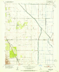
1953 Map of Dunnigan
USGS Topo · Published 1954About this map
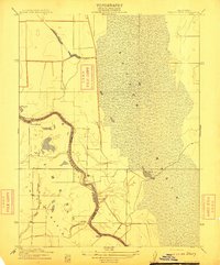
The Southern Pacific railroad corridor anchors the western edge of the Sacramento Valley in the early 1950s, connecting the small agricultural hubs of Dunnigan and Hershey. This landscape is defined by the transition from the undulating Dunnigan Hills into the engineered basin of the east. Local family and community history is preserved in the location of the Johns District School and the nearby Johns Cem, situated among orchards and grain fields. A complex network of water management features, including the Colusa Basin Drainage Canal and the Main Irrigation Canal, illustrates the scale of mid-century reclamation efforts. Natural waterways like Buckeye Creek and Dunnigan Creek flow toward the lower basin, where the Mt Diablo Meridian serves as a primary survey line through the intensive agricultural grid.
Find a feature on this map
23 named features on this map. Tap any name to fly to it.
Don’t see what you’re looking for? This feature index may not catch every label — zoom into the map to look around manually.
Map Details
Editions of this 1953 Dunnigan Map
4 editions found
Other maps of this area

1888 · Marysville
USGS Topo · 1:125,000

1891 · Marysville
USGS Topo · 1:125,000

1894 · Marysville
USGS Topo · 1:125,000

1895 · Marysville
USGS Topo · 1:125,000

1905 · Harrington
USGS Topo · 1:24,000

1907 · Dunnigan
USGS Topo · 1:62,500

1907 · Colusa
USGS Topo · 1:62,500

1911 · Grimes
USGS Topo · 1:31,680
1912 · Tisdale Weir
USGS Topo · 1:31,680

1915 · Ronda
USGS Topo · 1:31,680