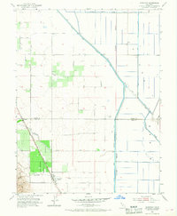
1953 Map of Dunnigan
USGS Topo · Published 1968About this map
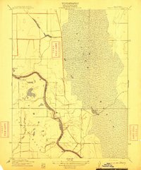
Dunnigan and the rail stop at Hershey define the settlement pattern of this agricultural corridor during the early 1950s. Situated along the Southern Pacific railroad, the area is characterized by a sophisticated network of water management features, including the Colusa Basin Drainage Canal and the Wilkins Slough Main Irrigation Canal, which support the surrounding fields. The transition from the flat basin to the elevated Dunnigan Hills is marked by seasonal waterways like Buckeye Creek and Dunnigan Creek. For those researching local genealogy, the Johns Cem and the Johns District School provide specific points of interest on the landscape, while the presence of a Landing Strip and numerous windmills highlights the era's rural infrastructure. The boundary between Colusa and Yolo counties bisects the map, illustrating how these administrative lines follow the township and range system through the valley.
Find a feature on this map
17 named features on this map. Tap any name to fly to it.
Don’t see what you’re looking for? This feature index may not catch every label — zoom into the map to look around manually.
Map Details
Editions of this 1953 Dunnigan Map
4 editions found
Other maps of this area

1888 · Marysville
USGS Topo · 1:125,000

1891 · Marysville
USGS Topo · 1:125,000

1894 · Marysville
USGS Topo · 1:125,000

1895 · Marysville
USGS Topo · 1:125,000

1905 · Harrington
USGS Topo · 1:24,000

1907 · Dunnigan
USGS Topo · 1:62,500

1907 · Colusa
USGS Topo · 1:62,500

1911 · Grimes
USGS Topo · 1:31,680
1912 · Tisdale Weir
USGS Topo · 1:31,680

1915 · Ronda
USGS Topo · 1:31,680