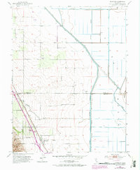
1953 Map of Dunnigan
USGS Topo · Published 1975About this map
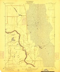
Agricultural water management and rail transportation define the landscape of the Sacramento Valley in this mid-century survey. The Southern Pacific railroad corridor anchors the small settlements of Dunnigan and Hershey, where the valley floor meets the rising western hills. To the east, the extensive engineering of the Colusa Basin Drainage Canal and the Wilkins Slough Main Irrigation Canal illustrates the intensive irrigation systems required to transform the basin into productive farmland. Genealogists will find local family and community history at Johns Cem and the Johns District School, while the crossing of Buckeye Creek and the presence of numerous windmills and levees highlight the continuous effort to control the region's seasonal water flow along the Colusa and Yolo county line.
Find a feature on this map
17 named features on this map. Tap any name to fly to it.
Don’t see what you’re looking for? This feature index may not catch every label — zoom into the map to look around manually.
Map Details
Editions of this 1953 Dunnigan Map
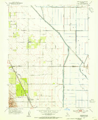
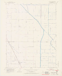
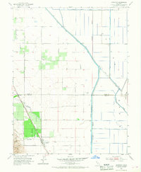
4 editions found
Other maps of this area

1888 · Marysville
USGS Topo · 1:125,000

1891 · Marysville
USGS Topo · 1:125,000

1894 · Marysville
USGS Topo · 1:125,000

1895 · Marysville
USGS Topo · 1:125,000

1905 · Harrington
USGS Topo · 1:24,000

1907 · Dunnigan
USGS Topo · 1:62,500

1907 · Colusa
USGS Topo · 1:62,500

1911 · Grimes
USGS Topo · 1:31,680
1912 · Tisdale Weir
USGS Topo · 1:31,680

1915 · Ronda
USGS Topo · 1:31,680