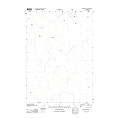
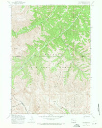
2012 Map of Dunrud Peak
USGS Topo · Published 2012About this map
Dunrud Peak serves as a prominent landmark in this high-elevation region of Wyoming, where the headwaters of major river systems begin their descent. The landscape is defined by a series of significant mountain crossings, including Bear Creek Pass, East Fork Pass, and Coal Chute Pass, which trace the natural movement patterns through the Absaroka Range. These passes connect the drainages of the Wood River system in the north with the E Fork Wind River to the south.
Find a feature on this map
21 named features on this map. Tap any name to fly to it.
Don’t see what you’re looking for? This feature index may not catch every label — zoom into the map to look around manually.
Map Details
Editions of this 2012 Dunrud Peak Map
This is the sole edition of this map. No revisions or reprints were ever made.
Other maps of this area

1904 · Kirwin
USGS Topo · 1:125,000

1906 · Kirwin
USGS Topo · 1:125,000

1955 · Thermopolis
USGS Topo · 1:250,000

1958 · Thermopolis
USGS Topo · 1:250,000

1962 · Thermopolis
USGS Topo · 1:250,000

1967 · Monument Peak
USGS Topo · 1:24,000
1967 · East Fork Basin
USGS Topo · 1:24,000
1967 · Castle Rock
USGS Topo · 1:24,000
1969 · Wiggins Peak
USGS Topo · 1:24,000
1969 · Twin Peaks
USGS Topo · 1:24,000