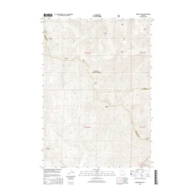
2015 Map of Dunrud Peak
USGS Topo · Published 2015About this map
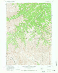
Shoshone National Forest serves as the backdrop for this high-altitude landscape where the borders of Fremont, Park, and Hot Springs counties converge. The high ridges of the Absaroka Range dominate the southern half of the quadrangle, punctuated by landmarks like Steamboat Rock and County Peak. This terrain is defined by a network of drainage systems and mountain crossings, including Bear Creek Pass, East Fork Pass, and Coal Chute Pass, which likely provided the only traversable routes through this part of the wilderness. Water flows from these heights through the Wood River and the E Fork Wind River. Named summits like Dunrud Peak, Mt Sniffel, and Bald Mtn illustrate a topography shaped by isolation and severe elevation, with no permanent settlements or major roads recorded in this primitive environment.
Find a feature on this map
31 named features on this map. Tap any name to fly to it.
Don’t see what you’re looking for? This feature index may not catch every label — zoom into the map to look around manually.
Map Details
Editions of this 2015 Dunrud Peak Map
This is the sole edition of this map. No revisions or reprints were ever made.
Other maps of this area

1904 · Kirwin
USGS Topo · 1:125,000

1906 · Kirwin
USGS Topo · 1:125,000

1955 · Thermopolis
USGS Topo · 1:250,000

1958 · Thermopolis
USGS Topo · 1:250,000

1962 · Thermopolis
USGS Topo · 1:250,000

1967 · Monument Peak
USGS Topo · 1:24,000
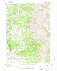
1967 · East Fork Basin
USGS Topo · 1:24,000
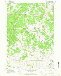
1967 · Castle Rock
USGS Topo · 1:24,000
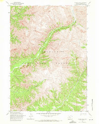
1969 · Wiggins Peak
USGS Topo · 1:24,000
1969 · Twin Peaks
USGS Topo · 1:24,000