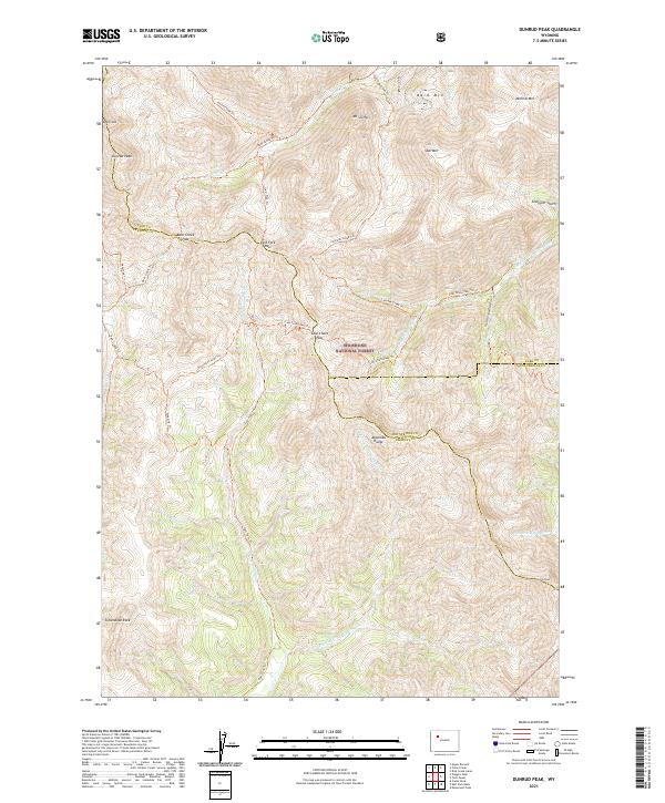
2021 Map of Dunrud Peak
USGS Topo · Published 2021About this map
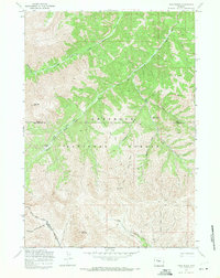
Shoshone National Forest defines this high-elevation corner of Wyoming, where the headwaters of the Wood River and its multiple forks carve through the Absaroka Range. The landscape is dominated by prominent summits including Dunrud Peak, Mt Sniffel, and Bald Mtn, creating a high-country environment accessible only by a network of specialized routes. Historically, these trails served as vital corridors through the mountains, connecting different drainage basins via high points like Bear Creek Pass and Coal Chute Pass. The presence of Smuggler Gulch and Mineral Mtn suggests a legacy of early prospecting in the region. This 2021 survey illustrates the continued importance of the trail system, featuring the Absaroka Trl and Ninemile Trl, which navigate the complex topography where Park, Fremont, and Hot Springs counties meet.
Find a feature on this map
36 named features on this map. Tap any name to fly to it.
Don’t see what you’re looking for? This feature index may not catch every label — zoom into the map to look around manually.
Map Details
Editions of this 2021 Dunrud Peak Map
This is the sole edition of this map. No revisions or reprints were ever made.
Other maps of this area

1904 · Kirwin
USGS Topo · 1:125,000

1906 · Kirwin
USGS Topo · 1:125,000

1955 · Thermopolis
USGS Topo · 1:250,000

1958 · Thermopolis
USGS Topo · 1:250,000

1962 · Thermopolis
USGS Topo · 1:250,000

1967 · Monument Peak
USGS Topo · 1:24,000
1967 · East Fork Basin
USGS Topo · 1:24,000
1967 · Castle Rock
USGS Topo · 1:24,000
1969 · Wiggins Peak
USGS Topo · 1:24,000
1969 · Twin Peaks
USGS Topo · 1:24,000