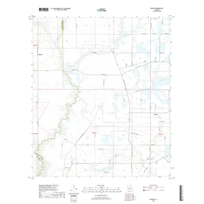
2018 Map of Duralde
USGS Topo · Published 2018About this map
Allen and Evangeline Parishes meet along a meandering wetland border defined by the winding course of Caney Cr. This part of Southwest Louisiana is characterized by a dense network of local roads and bayous that supported a rural agricultural economy. Small settlements like Hampton and Duralde serve as anchors for the surrounding family farms, while the presence of the Cezar Cem and Veillon Cem suggests long-established local lineages. The landscape is heavily influenced by its hydrography, with the Grand Louis Bayou and Coulee Valentine cutting across the terrain, creating a complex system of drainage and natural boundaries that historically dictated property lines and transportation routes.
Find a feature on this map
62 named features on this map. Tap any name to fly to it.
Don’t see what you’re looking for? This feature index may not catch every label — zoom into the map to look around manually.
Map Details
Editions of this 2018 Duralde Map
This is the sole edition of this map. No revisions or reprints were ever made.
Other maps of this area

1947 · Fruge Lake
USGS Topo · 1:31,680

1947 · Foley
USGS Topo · 1:31,680

1947 · Redland
USGS Topo · 1:31,680

1947 · Elton
USGS Topo · 1:31,680

1947 · Bond
USGS Topo · 1:31,680

1947 · Eunice
USGS Topo · 1:31,680

1947 · Basile
USGS Topo · 1:31,680

1949 · Bayou Blue
USGS Topo · 1:31,680

1949 · Basile
USGS Topo · 1:31,680
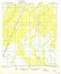
1950 · Foley
USGS Topo · 1:31,680