
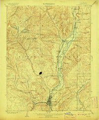
1908 Map of Durango
USGS Topo · Published 1908This historical map portrays the area of Durango in 1908, primarily covering La Plata County. Featuring a scale of 1:62500, this map provides a highly detailed snapshot of the terrain, roads, buildings, counties, and historical landmarks in the Durango region at the time. Published in 1908, it is one of 4 known editions of this map due to revisions or reprints.
Map Details
Date Portrayed1908
Date Published1908
PublisherU.S. Geological Survey
Map TypeTopographic
Scale1:62500
Physical Dimensions16.5 x 20 inches
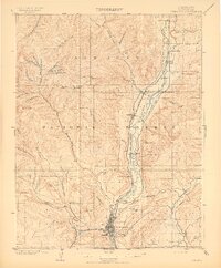
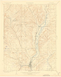
Editions of this 1908 Durango Map
4 editions found
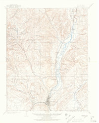
Historical Maps of Durango Through Time
10 maps found

1898 Durango
La Plata County, CO
1907 Durango
La Plata County, CO
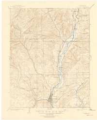
1908 Durango
La Plata County, CO
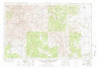
1945 Durango
La Plata County, CO

1953 Durango
La Plata County, CO
1954 Durango
La Plata County, CO

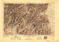
1961 Durango
La Plata County, CO

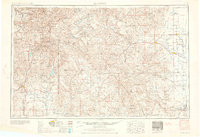
1963 Durango
La Plata County, CO
1966 Durango
La Plata County, CO

1983 Durango
La Plata County, CO
Featured Locations
Source Details
SourceU.S. Geological Survey
CopyrightPublic Domain