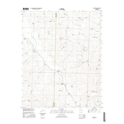
2017 Map of Durham
USGS Topo · Published 2017About this map
The White River carves a central path through this section of the Ozarks, defining the development of small communities like Durham and Thompson. The landscape is dominated by a complex network of ridges and hollows, including distinctive peaks such as Chicken Bristle Mtn and Pinnacle Mtn. These elevations create natural corridors for drainage, seen in the many tributaries like Fritts Cr and Panther Cr that feed into the river valley.
Find a feature on this map
98 named features on this map. Tap any name to fly to it.
Don’t see what you’re looking for? This feature index may not catch every label — zoom into the map to look around manually.
Map Details
Editions of this 2017 Durham Map
This is the sole edition of this map. No revisions or reprints were ever made.
Other maps of this area

1898 · Winslow
USGS Topo · 1:125,000

1899 · Fayetteville
USGS Topo · 1:125,000

1900 · Eureka Springs
USGS Topo · 1:125,000

1901 · Winslow
USGS Topo · 1:125,000

1901 · Eureka Springs
USGS Topo · 1:125,000

1901 · Fayetteville
USGS Topo · 1:125,000

1904 · Fayetteville
USGS Topo · 1:125,000

1943 · St. Paul
USGS Topo · 1:62,500

1945 · Harrison
USGS Topo · 1:250,000

1946 · St. Paul
USGS Topo · 1:62,500