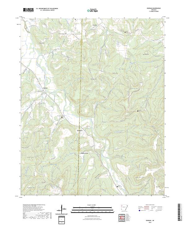
2024 Map of Durham
USGS Topo · Published 2024About this map
The White River winds through the heart of this Madison County landscape, carving a valley between prominent elevations like Chicken Bristle Mtn and Pinnacle Mtn. Small settlements and named crossroads define the human geography here, with Durham and Thompson serving as focal points along the river's course. The area's genealogical history is well-preserved through numerous burial grounds, including Mount Liberty Cem, Shumate Cem, and Walnut Grove Cem, which often sit near family-named landmarks like McHenry Branch or Bushart Mtn. The transport network relies on a web of county roads, such as Co RD 4315 and Madison 6115, that follow the natural contours of the hills and hollows. Interesting local names like Blackland Cove and Rocky Hollow suggest the varied geological character of the Ozark terrain, while water sources like Burchette Spring and Dills Lakes mark essential resources in this rural Arkansas environment.
Find a feature on this map
105 named features on this map. Tap any name to fly to it.
Don’t see what you’re looking for? This feature index may not catch every label — zoom into the map to look around manually.
Map Details
Editions of this 2024 Durham Map
This is the sole edition of this map. No revisions or reprints were ever made.
Other maps of this area

1898 · Winslow
USGS Topo · 1:125,000

1899 · Fayetteville
USGS Topo · 1:125,000

1900 · Eureka Springs
USGS Topo · 1:125,000

1901 · Winslow
USGS Topo · 1:125,000

1901 · Eureka Springs
USGS Topo · 1:125,000

1901 · Fayetteville
USGS Topo · 1:125,000

1904 · Fayetteville
USGS Topo · 1:125,000

1943 · St. Paul
USGS Topo · 1:62,500

1945 · Harrison
USGS Topo · 1:250,000

1946 · St. Paul
USGS Topo · 1:62,500