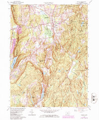
1964 Map of Durham
USGS Topo · Published 1986About this map
Durham and Durham Center serve as the primary residential hubs on this landscape, clustered near the Allyn Millpond and the winding Coginchaug River. The terrain is defined by a series of north-south ridges, including Beseck Mountain and the prominent Bluff Head, which overlooks the deep waters of Quonnipaug Lake. This mid-century survey illustrates a region where local agriculture and community landmarks, such as Korn Sch and the Mica Hill Cem, coexist with the extensive wooded tracts of the Cockaponet State Forest.
Find a feature on this map
90 named features on this map. Tap any name to fly to it.
Don’t see what you’re looking for? This feature index may not catch every label — zoom into the map to look around manually.
Map Details
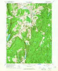
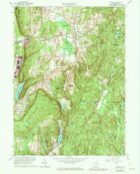
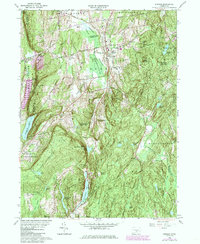
Editions of this 1964 Durham Map
4 editions found
Other maps of this area

1892 · New Haven
USGS Topo · 1:62,500

1892 · Meriden
USGS Topo · 1:62,500

1893 · Guilford
USGS Topo · 1:62,500

1893 · Middletown
USGS Topo · 1:62,500

1893 · Meriden
USGS Topo · 1:62,500

1906 · Farmington
USGS Topo · 1:125,000

1921 · New Haven
USGS Topo · 1:62,500

1928 · Cromwell
USGS Topo · 1:24,000

1943 · Durham
USGS Topo · 1:25,000

1945 · Middle Haddam
USGS Topo · 1:31,680