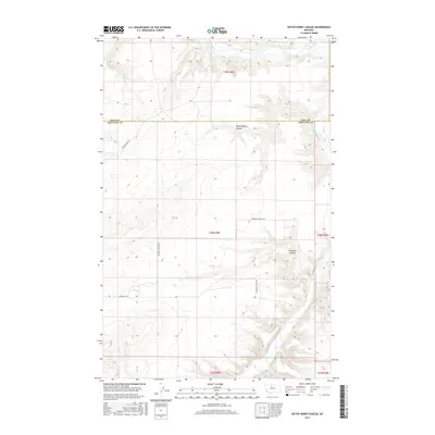
2017 Map of Dutch Henry Coulee
USGS Topo · Published 2017About this map
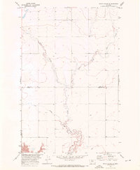
The Marias River carves a winding path through the northern plains of Montana, defining the local topography as it flows toward the eastern edge of this region. This landscape is characterized by the deep, dendritic drainage patterns of Dutch Henry Coulee and Fourmile Coulee, which cut through the high plateau south of the Hill County and Chouteau County line. The geometric precision of the Public Land Survey System, including Township 28 North, Range 8 East, contrasts with the organic curves of the river valley. Local travel is facilitated by a network of rural routes such as Goosebill Rd and Teara Firma Rd, which navigate the level benches between the coulees. This map provides a look at the modern rural infrastructure and land management in a sparsely populated section of the Treasure State.
Find a feature on this map
12 named features on this map. Tap any name to fly to it.
Don’t see what you’re looking for? This feature index may not catch every label — zoom into the map to look around manually.
Map Details
Editions of this 2017 Dutch Henry Coulee Map
This is the sole edition of this map. No revisions or reprints were ever made.
Other maps of this area

1954 · Shelby
USGS Topo · 1:250,000

1958 · Shelby
USGS Topo · 1:250,000
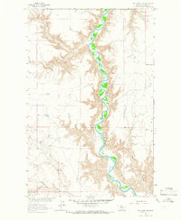
1964 · Day School SW
USGS Topo · 1:24,000
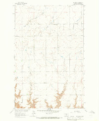
1964 · Day School
USGS Topo · 1:24,000

1969 · Dutch Henry Coulee
USGS Topo · 1:24,000
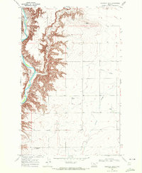
1969 · Discovery Butte
USGS Topo · 1:24,000

1970 · Penzer School
USGS Topo · 1:24,000
1970 · Rocky Coulee SE
USGS Topo · 1:24,000

1970 · Poverty Coulee SE
USGS Topo · 1:24,000

1970 · Rocky Coulee SW
USGS Topo · 1:24,000