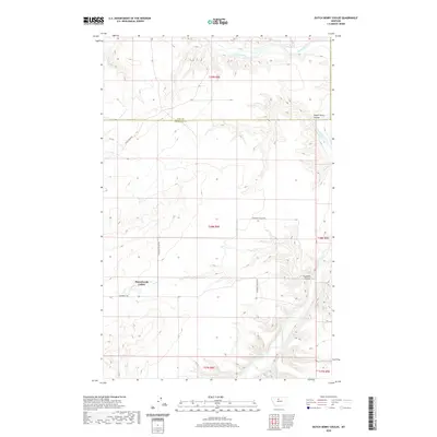
2020 Map of Dutch Henry Coulee
USGS Topo · Published 2020About this map
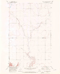
Sunnybrook Colony stands as a primary focal point in this portion of the northern Montana plains, situated just south of the Hill County and Chouteau County line. The landscape is defined by the deep incisions of the Marias River, which meanders through the northern and eastern reaches of the area, creating significant topographical relief. This river system is fed by numerous drainages, most notably Dutch Henry Coulee and Fourmile Coulee, which carve through the high prairie.
Find a feature on this map
13 named features on this map. Tap any name to fly to it.
Don’t see what you’re looking for? This feature index may not catch every label — zoom into the map to look around manually.
Map Details
Editions of this 2020 Dutch Henry Coulee Map
This is the sole edition of this map. No revisions or reprints were ever made.
Other maps of this area

1954 · Shelby
USGS Topo · 1:250,000

1958 · Shelby
USGS Topo · 1:250,000
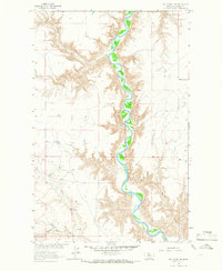
1964 · Day School SW
USGS Topo · 1:24,000
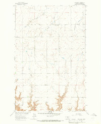
1964 · Day School
USGS Topo · 1:24,000

1969 · Dutch Henry Coulee
USGS Topo · 1:24,000
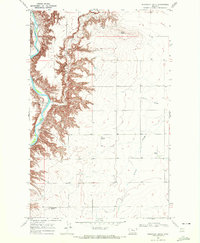
1969 · Discovery Butte
USGS Topo · 1:24,000

1970 · Penzer School
USGS Topo · 1:24,000
1970 · Rocky Coulee SE
USGS Topo · 1:24,000

1970 · Poverty Coulee SE
USGS Topo · 1:24,000

1970 · Rocky Coulee SW
USGS Topo · 1:24,000