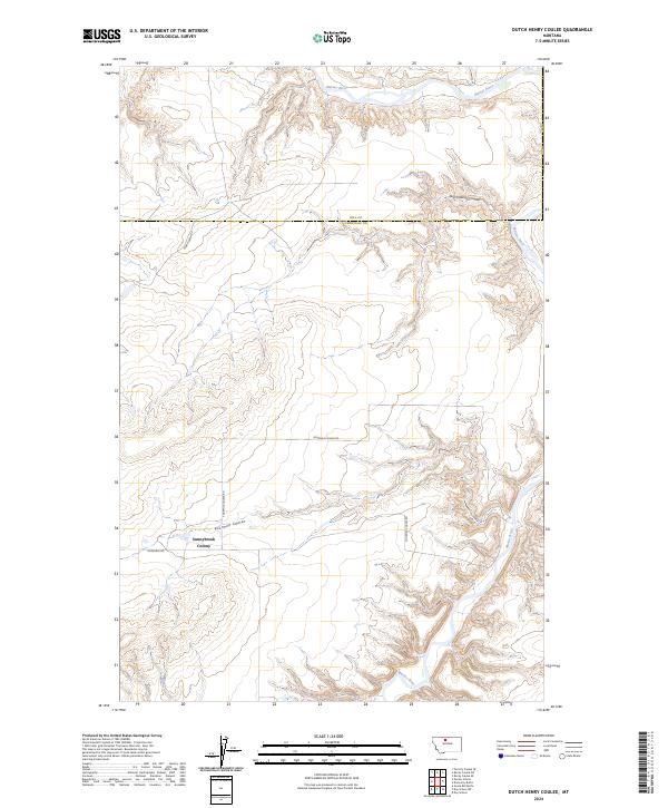
2024 Map of Dutch Henry Coulee
USGS Topo · Published 2024About this map
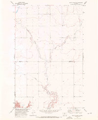
Sunnybrook Colony stands as a focal point of settlement in this northern Montana landscape, situated just south of the winding Fourmile Coulee. The topography is dominated by the sharp incisions of the Marias River, which carves through the northeastern and southern sections of the terrain. This environment is defined by deep coulees and plateau-like rises, with Dutch Henry Coulee branching away from the river valley. Local transport follows these natural contours, evidenced by Fourmile Coulee Rd and Goosebill Rd, which serve the agricultural and communal interests of the area. The boundary between Hill Co and Chouteau Co bisects the northern half of the region, marking a transition in local jurisdiction across the open plains and deep drainage channels.
Find a feature on this map
13 named features on this map. Tap any name to fly to it.
Don’t see what you’re looking for? This feature index may not catch every label — zoom into the map to look around manually.
Map Details
Editions of this 2024 Dutch Henry Coulee Map
This is the sole edition of this map. No revisions or reprints were ever made.
Other maps of this area

1954 · Shelby
USGS Topo · 1:250,000

1958 · Shelby
USGS Topo · 1:250,000
1964 · Day School SW
USGS Topo · 1:24,000
1964 · Day School
USGS Topo · 1:24,000

1969 · Dutch Henry Coulee
USGS Topo · 1:24,000
1969 · Discovery Butte
USGS Topo · 1:24,000

1970 · Penzer School
USGS Topo · 1:24,000
1970 · Rocky Coulee SE
USGS Topo · 1:24,000

1970 · Poverty Coulee SE
USGS Topo · 1:24,000

1970 · Rocky Coulee SW
USGS Topo · 1:24,000