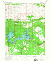
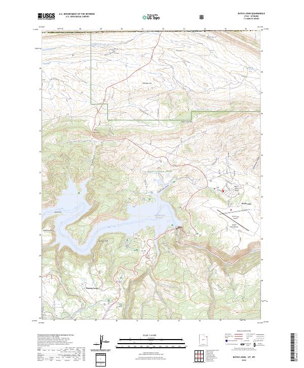
1966 Map of Dutch John
USGS Topo · Published 1967About this map
Flaming Gorge Dam stands as the central engineering marvel of this mid-1960s landscape, holding back the massive Flaming Gorge Reservoir where the Green River once flowed unimpeded. The map documents the rapid transformation of this region into a major recreation hub following the dam's completion, featuring a network of sites like Mustang Ridge Campground and Cedar Springs Campground. The company town of Dutch John serves as the focal point for local infrastructure, including the Dutch John Sch, Dutch John Airport, and support facilities like the Filtration Plant and Sewage Disposal Ponds. Beyond the industrial and residential core, the terrain transitions into the high-elevation reaches of Dutch John Mountain and the broad expanse of Antelope Flat, while the lower portion shows the rugged descent of the river into Red Canyon toward Greendale.
Find a feature on this map
62 named features on this map. Tap any name to fly to it.
Don’t see what you’re looking for? This feature index may not catch every label — zoom into the map to look around manually.
Map Details
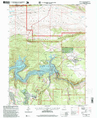
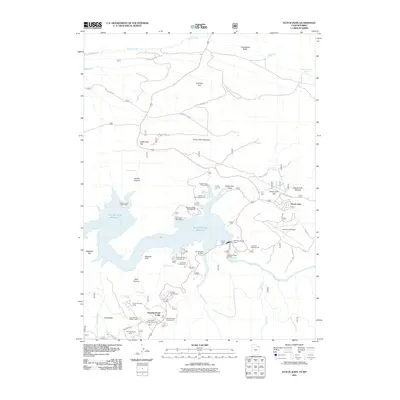
Editions of this 1966 Dutch John Map
This is the sole edition of this map. No revisions or reprints were ever made.
Historical Maps of Flaming Gorge Summer Home Area Through Time
8 maps found
Featured Locations
- United States
- Daggett County, UT
- Sweetwater County, WY
- Dutch John, UT
- Flaming Gorge Summer Home Area, UT