Loading...
Loading map...1981 Map of Dutch John
USGS Topo · Published 1986About this map
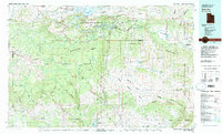
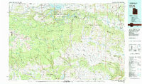
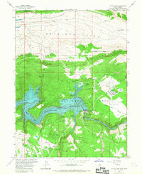
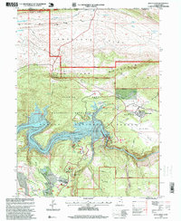
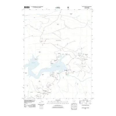
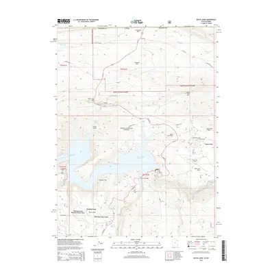
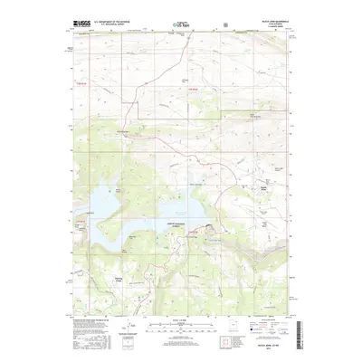
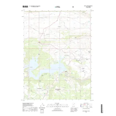
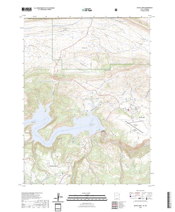
The Flaming Gorge Reservoir and the winding Green River dominate this 1981 survey of the high desert and mountain country along the Utah, Colorado, and Wyoming borders. The map captures a landscape defined by massive federal land management, from the expansive Ashley National Forest to the northern reaches of Dinosaur National Monument. Small settlements like Manila and Dutch John serve as hubs for the region, which had by this time transitioned into a major recreation destination following the damming of the river.
Find a feature on this map
58 named features on this map. Tap any name to fly to it.
Don’t see what you’re looking for? This feature index may not catch every label — zoom into the map to look around manually.
Map Details
Date Portrayed1981
Date Published1986
PublisherU.S. Geological Survey
Map TypeTopographic
Scale1:100,000
Physical Dimensions39.9 x 24.1 inches
Editions of this 1981 Dutch John Map
2 editions found
Historical Maps of Manila Through Time
8 maps found
Featured Locations
Source Details
SourceU.S. Geological Survey
CopyrightPublic Domain