
1963 Map of Dutch Peak
USGS Topo · Published 1964About this map
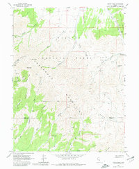
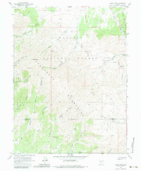
The high ridges of the Sheeprock Mountains dominate this 1963 survey, where mining activity and rugged canyon drainage systems define the landscape. Located within the Wasatch National Forest, the area shows several mines and prospects concentrated around Dutch Peak and the surrounding drainage of Bennion Creek. These small-scale operations are accessible only by a network of trails and jeep trails that navigate the steep elevations between Black Peak and the Tooele and Juab County line.
Find a feature on this map
32 named features on this map. Tap any name to fly to it.
Don’t see what you’re looking for? This feature index may not catch every label — zoom into the map to look around manually.
Map Details
Editions of this 1963 Dutch Peak Map
3 editions found
Other maps of this area

1885 · Sevier Desert
USGS Topo · 1:250,000

1885 · Tooele Valley
USGS Topo · 1:250,000

1953 · Tooele
USGS Topo · 1:250,000

1953 · Delta
USGS Topo · 1:250,000

1955 · Tooele
USGS Topo · 1:250,000

1958 · Delta
USGS Topo · 1:250,000

1962 · Delta
USGS Topo · 1:250,000

1963 · Maple Peak
USGS Topo · 1:24,000
1963 · Sabie Mountain
USGS Topo · 1:24,000

1963 · Cherry Creek
USGS Topo · 1:24,000