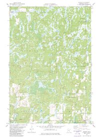
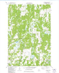
1981 Map of Duxbury
USGS Topo · Published 1982About this map
St Croix State Forest and the Nemadji State Forest anchor this landscape in Pine County, representing a region deeply committed to conservation and public land management in the early 1980s. The topography is defined by an intricate network of wetlands and waterways, where the Tamarack River and the branching forks of Crooked Creek carve through the glacial terrain. This environment supported a specialized geography of game management, seen here in the Pine County State Game Refuge.
Find a feature on this map
23 named features on this map. Tap any name to fly to it.
Don’t see what you’re looking for? This feature index may not catch every label — zoom into the map to look around manually.
Map Details
Editions of this 1981 Duxbury Map
This is the sole edition of this map. No revisions or reprints were ever made.
Other maps of this area
1949 · Danbury
USGS Topo · 1:48,000
1949 · Holyoke
USGS Topo · 1:48,000

1953 · Duluth
USGS Topo · 1:250,000

1958 · Duluth
USGS Topo · 1:250,000
1962 · Holyoke
USGS Topo · 1:62,500
1962 · Bruno
USGS Topo · 1:62,500
1962 · Cloverdale
USGS Topo · 1:62,500
1962 · Danbury
USGS Topo · 1:62,500
1980 · Sandstone
USGS Topo · 1:100,000
1981 · Cloverdale
USGS Topo · 1:24,000