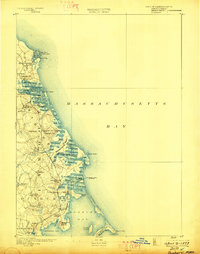
1893 Map of Duxbury
USGS Topo · Published 1898About this map
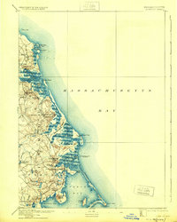
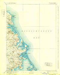
The Old Colony Railroad defines the late nineteenth-century movement of goods and people along the South Shore, connecting coastal settlements from Scituate Harbor down to Kingston. This coastal geography is heavily shaped by the intricate marshes and tidal inlets of the North River and South River, where many small villages like Greenbush and East Marshfield thrived near the riverbanks.
Find a feature on this map
73 named features on this map. Tap any name to fly to it.
Don’t see what you’re looking for? This feature index may not catch every label — zoom into the map to look around manually.
Map Details
Editions of this 1893 Duxbury Map
7 editions found

Other maps of this area

1885 · Abington
USGS Topo · 1:62,500

1885 · Duxbury
USGS Topo · 1:62,500

1885 · Middleboro
USGS Topo · 1:62,500

1886 · Plymouth
USGS Topo · 1:62,500

1888 · Duxbury
USGS Topo · 1:62,500

1888 · Middleboro
USGS Topo · 1:62,500

1888 · Abington
USGS Topo · 1:62,500

1889 · Plymouth
USGS Topo · 1:62,500

1892 · Boston Bay
USGS Topo · 1:62,500

1893 · Abington
USGS Topo · 1:62,500