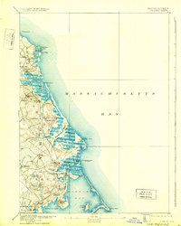
1893 Map of Duxbury
USGS Topo · Published 1931About this map
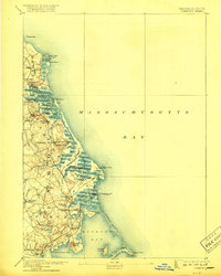
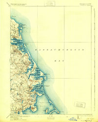
Scituate Harbor and the winding course of the North River define this coastal landscape at the close of the 19th century. The Old Colony R. R. serves as the primary artery for the region, connecting a string of depots from Marshfield Center Station down to South Duxbury Station. This era marks a peak in maritime infrastructure, evidenced by the presence of a Telegraph Office and Cable House at the edge of the Duxbury Marsh, where a Telegraph Cable to Brest reached across the Atlantic. The shoreline is punctuated by long-standing landmarks like the Standish Monument atop Captains Hill and the Gurnet Lights guarding the entrance to Duxbury Bay. From the tidal flats of Green Harbor Marsh to the elevations of Marshfield Hills, the map documents a transition from traditional seafaring life to a connected railroad economy.
Find a feature on this map
75 named features on this map. Tap any name to fly to it.
Don’t see what you’re looking for? This feature index may not catch every label — zoom into the map to look around manually.
Map Details
Editions of this 1893 Duxbury Map
7 editions found

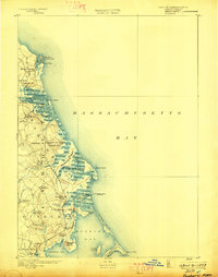
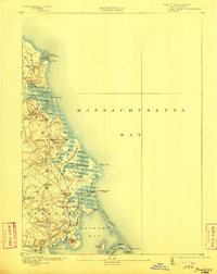
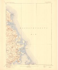
Other maps of this area

1885 · Abington
USGS Topo · 1:62,500

1885 · Duxbury
USGS Topo · 1:62,500

1885 · Middleboro
USGS Topo · 1:62,500

1886 · Plymouth
USGS Topo · 1:62,500

1888 · Duxbury
USGS Topo · 1:62,500

1888 · Middleboro
USGS Topo · 1:62,500

1888 · Abington
USGS Topo · 1:62,500

1889 · Plymouth
USGS Topo · 1:62,500

1892 · Boston Bay
USGS Topo · 1:62,500

1893 · Abington
USGS Topo · 1:62,500