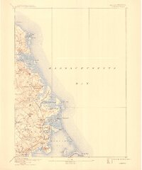
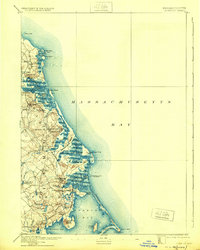
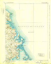
1893 Map of Duxbury
USGS Topo · Published 1910About this map
Old Colony R. R. infrastructure defines the late-nineteenth-century coastal landscape of this survey, with active depots at Marshfield Center Station, Green Harbor Station, Duxbury Station, and South Duxbury Station connecting South Shore communities to the broader region. The maritime character of the era is remarkably preserved, showing the telegraph cable to Brest making landfall at the Cable House near Duxbury Marsh.
Find a feature on this map
76 named features on this map. Tap any name to fly to it.
Don’t see what you’re looking for? This feature index may not catch every label — zoom into the map to look around manually.
Map Details
Editions of this 1893 Duxbury Map
7 editions found

Other maps of this area

1885 · Abington
USGS Topo · 1:62,500

1885 · Duxbury
USGS Topo · 1:62,500

1885 · Middleboro
USGS Topo · 1:62,500

1886 · Plymouth
USGS Topo · 1:62,500

1888 · Duxbury
USGS Topo · 1:62,500

1888 · Middleboro
USGS Topo · 1:62,500

1888 · Abington
USGS Topo · 1:62,500

1889 · Plymouth
USGS Topo · 1:62,500

1892 · Boston Bay
USGS Topo · 1:62,500

1893 · Abington
USGS Topo · 1:62,500