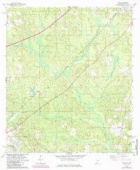
1978 Map of Dyas
USGS Topo · Published 1985About this map
Perdido and the surrounding pine-land communities sit along the Seaboard Coast Line railroad during the late 1970s. The landscape is defined by the winding course of the Perdido River and its numerous tributaries, including Dyas Creek and Mc Curtin Creek. The map documents a rural corridor where transportation history is visible in the route of the Old Pensacola Road cutting through the western section. Local social hubs are centered around small settlements like Dyas and New Providence, where the New Providence Ch serves as a landmark. Genealogical interest is anchored by features like Cain Cem and family-named locations such as Carney and Phillipsville. Industrial activity is represented by a Claypit near the southern edge, illustrating the local extraction economy of the era.
Find a feature on this map
20 named features on this map. Tap any name to fly to it.
Don’t see what you’re looking for? This feature index may not catch every label — zoom into the map to look around manually.
Map Details
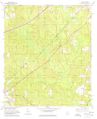
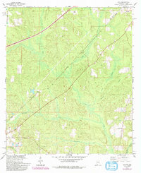
Editions of this 1978 Dyas Map
3 editions found
Other maps of this area

1941 · Bay Minette
USGS Topo · 1:62,500

1942 · Perdido
USGS Topo · 1:62,500

1942 · Dyas
USGS Topo · 1:62,500

1943 · Bay Minette
USGS Topo · 1:62,500

1943 · Tensaw
USGS Topo · 1:62,500

1944 · Tensaw
USGS Topo · 1:62,500

1944 · Dyas
USGS Topo · 1:62,500

1944 · Perdido
USGS Topo · 1:62,500

1953 · Andalusia
USGS Topo · 1:250,000

1957 · Andalusia
USGS Topo · 1:250,000