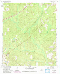
1978 Map of Dyas
USGS Topo · Published 1993About this map
The Seaboard railroad cuts diagonally across this landscape, connecting rural outposts near the Alabama Florida border in the late 1970s and early 1980s. The terrain is defined by a dense network of waterways, including Dyas Creek, Brushy Creek, and Horseneck Creek, which drain toward the winding Perdido River on the eastern edge. Settlement is sparse and largely centered around small junctions and crossings like Perdido and Carney, with the historical path of the Old Pensacola Road tracing a route through the southern half of the quadrangle.
Find a feature on this map
19 named features on this map. Tap any name to fly to it.
Don’t see what you’re looking for? This feature index may not catch every label — zoom into the map to look around manually.
Map Details
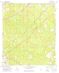
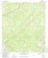
Editions of this 1978 Dyas Map
3 editions found
Other maps of this area

1941 · Bay Minette
USGS Topo · 1:62,500

1942 · Perdido
USGS Topo · 1:62,500

1942 · Dyas
USGS Topo · 1:62,500

1943 · Bay Minette
USGS Topo · 1:62,500

1943 · Tensaw
USGS Topo · 1:62,500

1944 · Tensaw
USGS Topo · 1:62,500

1944 · Dyas
USGS Topo · 1:62,500

1944 · Perdido
USGS Topo · 1:62,500

1953 · Andalusia
USGS Topo · 1:250,000

1957 · Andalusia
USGS Topo · 1:250,000