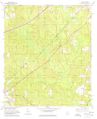
1978 Map of Dyas
USGS Topo · Published 1978About this map
The Louisville and Nashville railroad cuts a diagonal line across this landscape, connecting small rural hubs like Dyas and Perdido during the late 1970s. This area near the Alabama-Florida border is defined by its drainage systems, including Dyas Creek, Mc Curtin Creek, and Horseneck Creek, which flow toward the Perdido River on the eastern edge. Local life is anchored by landmarks such as New Providence Ch and Horseneck Ch, while the industrial presence of a Claypit and the historic path of the Old Pensacola Road suggest a long history of transit and resource extraction. The map reveals a transition from the structured Base Line in the north to the irregular wetlands of Dogwood Branch and Reedy Branch, illustrating the rural character of Baldwin County prior to modern expansion.
Find a feature on this map
22 named features on this map. Tap any name to fly to it.
Don’t see what you’re looking for? This feature index may not catch every label — zoom into the map to look around manually.
Map Details
Editions of this 1978 Dyas Map
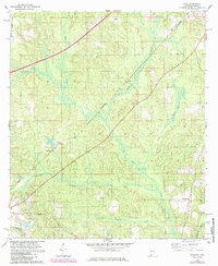
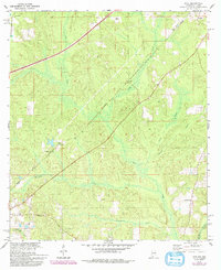
3 editions found
Other maps of this area

1941 · Bay Minette
USGS Topo · 1:62,500

1942 · Perdido
USGS Topo · 1:62,500

1942 · Dyas
USGS Topo · 1:62,500

1943 · Bay Minette
USGS Topo · 1:62,500

1943 · Tensaw
USGS Topo · 1:62,500

1944 · Tensaw
USGS Topo · 1:62,500

1944 · Dyas
USGS Topo · 1:62,500

1944 · Perdido
USGS Topo · 1:62,500

1953 · Andalusia
USGS Topo · 1:250,000

1957 · Andalusia
USGS Topo · 1:250,000