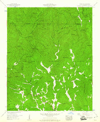
1959 Map of Dyer Gap
USGS Topo · Published 1961About this map
Cohutta Mountain and the surrounding peaks of the Blue Ridge dominate this northern Georgia landscape, situated at the meeting point of Murray, Fannin, and Gilmer counties. This 1959 survey, conducted by the Tennessee Valley Authority and published by the USGS, depicts a terrain defined by steep ridges and narrow gaps. The northern half is heavily managed as part of the Cohutta Wildlife Management Area, where landmarks like Dyer Gap and Potatopatch Mtn rise above the headwaters of the Conasauga River and Jacks River. To the south, within the Chattahoochee National Forest, small communities and landmarks like Pleasant Hill and Little Mountaintown are reached by winding roads that follow the contours of the valley floors. Genealogists will find valuable local history markers including Dyer Cem, Nails Cem, and rural congregations such as Zion Hill Ch and Gates Chapel, along with the Henry Grady Sch.
Find a feature on this map
60 named features on this map. Tap any name to fly to it.
Don’t see what you’re looking for? This feature index may not catch every label — zoom into the map to look around manually.
Map Details
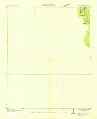
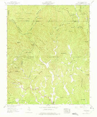
Editions of this 1959 Dyer Gap Map
3 editions found
Other maps of this area

1886 · Dalton
USGS Topo · 1:125,000

1888 · Ellijay
USGS Topo · 1:125,000

1892 · Ellijay
USGS Topo · 1:125,000

1892 · Dalton
USGS Topo · 1:125,000

1897 · Dalton
USGS Topo · 1:125,000

1898 · Ellijay
USGS Topo · 1:125,000

1911 · Ellijay
USGS Topo · 1:125,000

1911 · Cohutta Mtn
USGS Topo · 1:62,500

1913 · Cohutta Mtn.
USGS Topo · 1:62,500

1914 · Talking Rock
USGS Topo · 1:62,500