
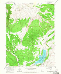
1950 Map of Dyer Mountain
USGS Topo · Published 1952About this map
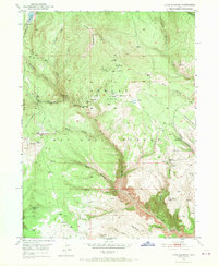
Dyer Mines and several open pit mining operations characterize the high-elevation landscape of the Ashley National Forest in this mid-century study. The area centers on the rugged slopes of Dyer Mountain, where extraction sites and infrastructure like the Government Ditch and the Colton Ranger Sta reveal a history of resource management and industrial effort. Traces of past habitation are visible at the Bullionville (Site) and Iron Spring Camp, indicating the transient nature of mountain industry during this era.
Find a feature on this map
43 named features on this map. Tap any name to fly to it.
Don’t see what you’re looking for? This feature index may not catch every label — zoom into the map to look around manually.
Map Details
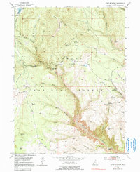
Editions of this 1950 Dyer Mountain Map
3 editions found
Other maps of this area

1885 · Ashley
USGS Topo · 1:250,000

1906 · Marsh Peak
USGS Topo · 1:125,000

1908 · Marsh Peak
USGS Topo · 1:125,000

1950 · Burnt Cabin Gorge
USGS Topo · 1:24,000

1954 · Vernal
USGS Topo · 1:250,000

1958 · Vernal
USGS Topo · 1:250,000

1960 · Vernal
USGS Topo · 1:250,000
1963 · East Park Reservoir
USGS Topo · 1:24,000
1963 · Elk Park
USGS Topo · 1:24,000
1965 · Steinaker Reservoir
USGS Topo · 1:24,000